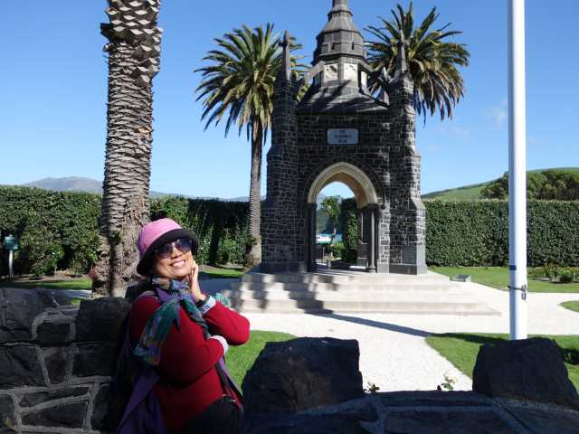
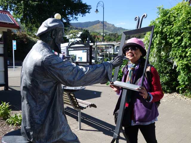
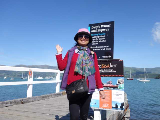
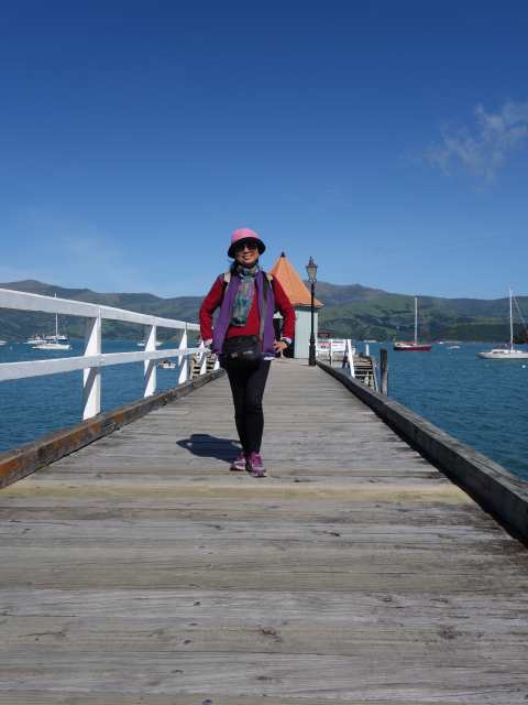
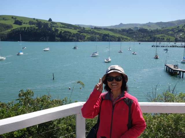
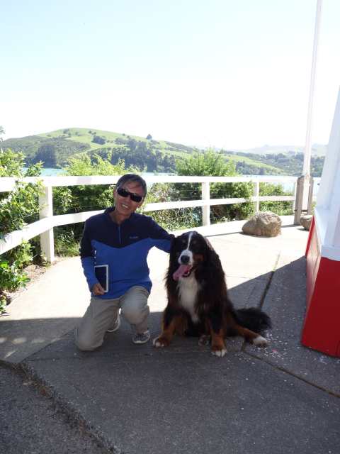
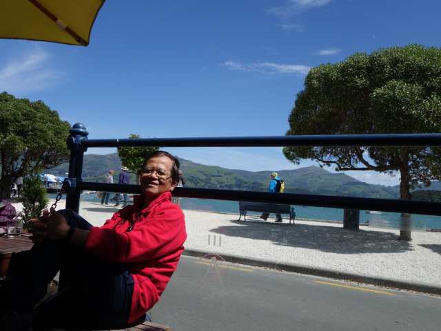
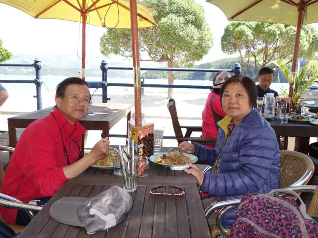
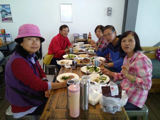
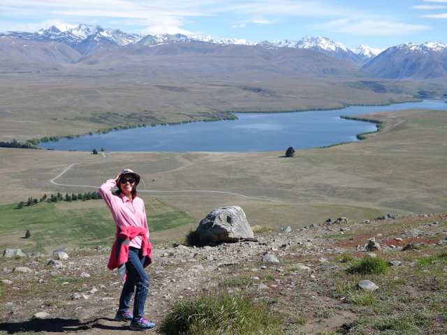
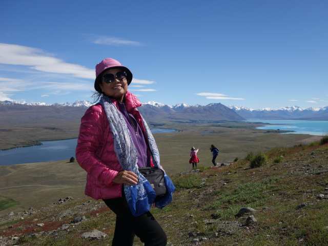
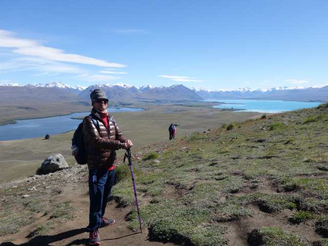
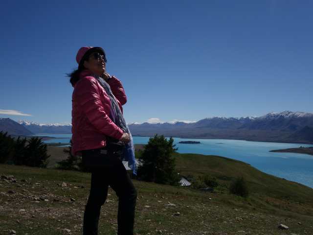
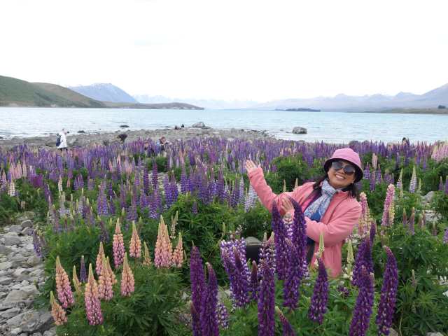
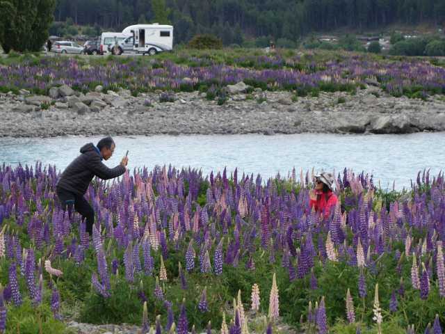
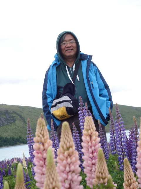
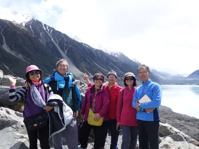
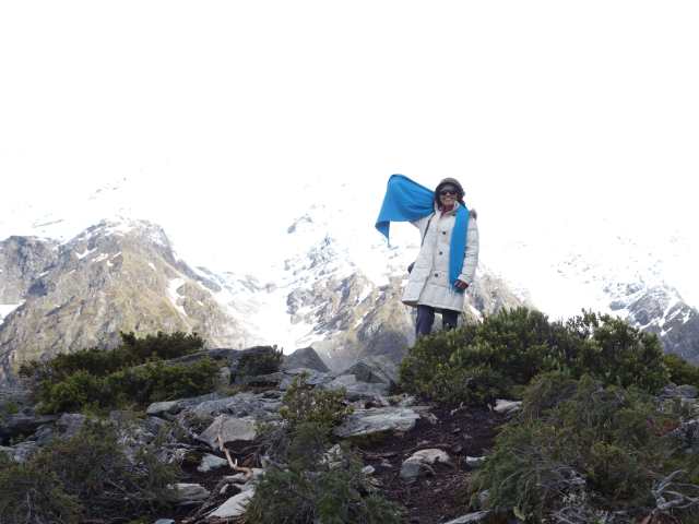
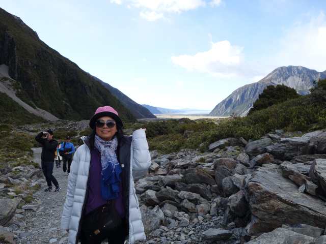
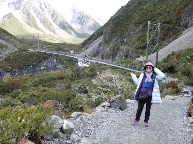
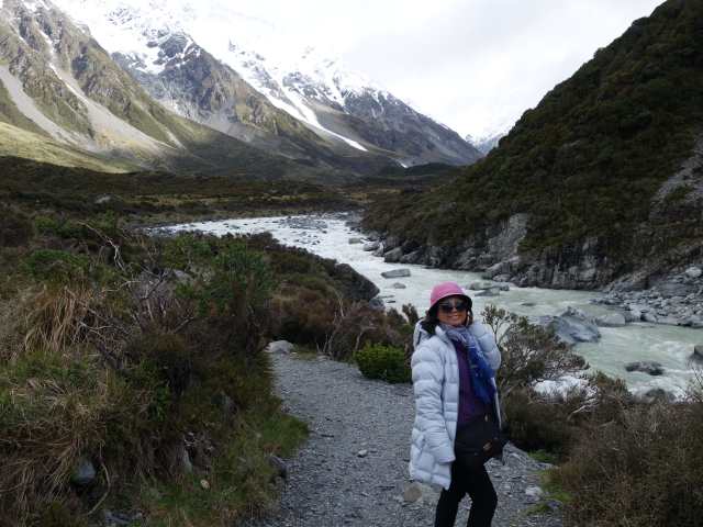
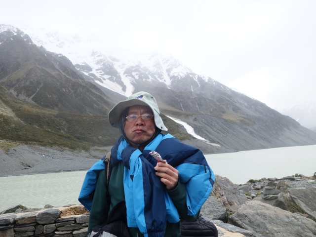
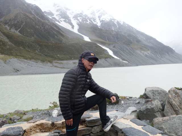
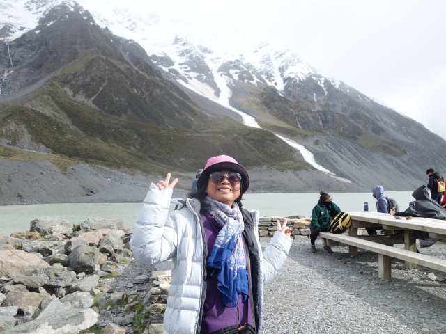
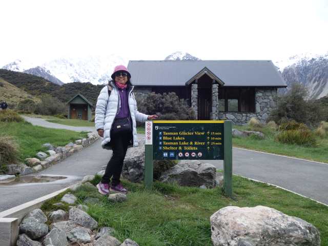
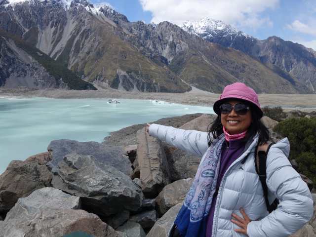
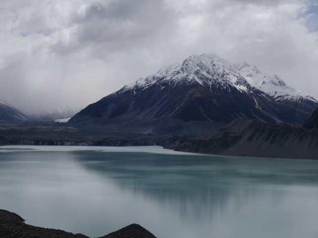
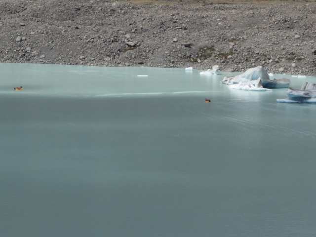
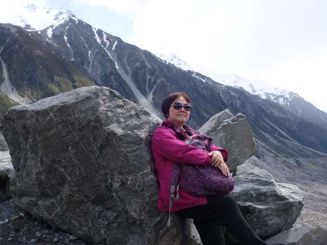
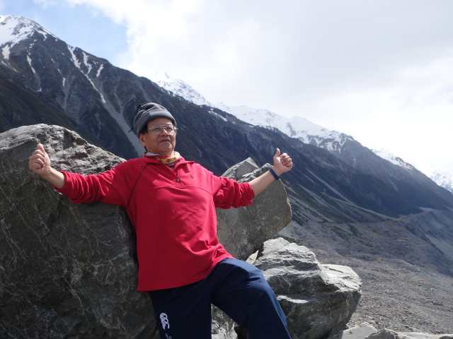
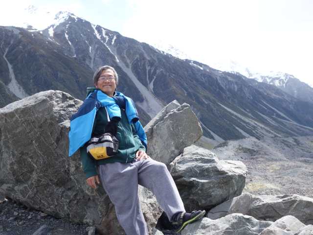
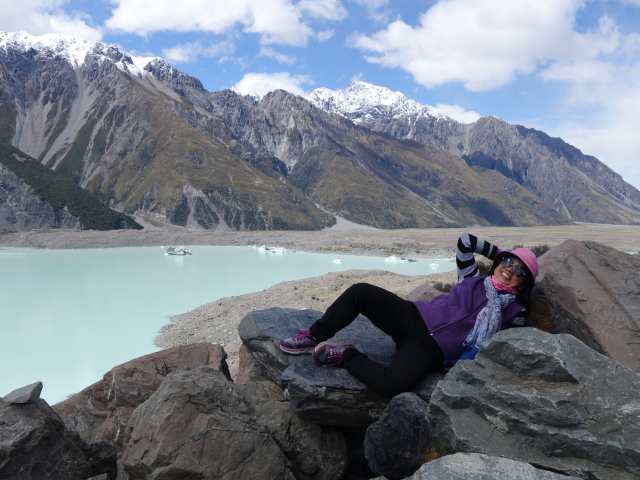
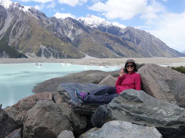
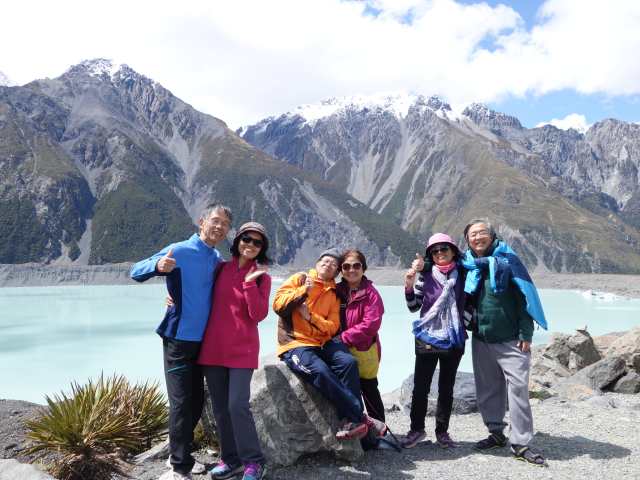
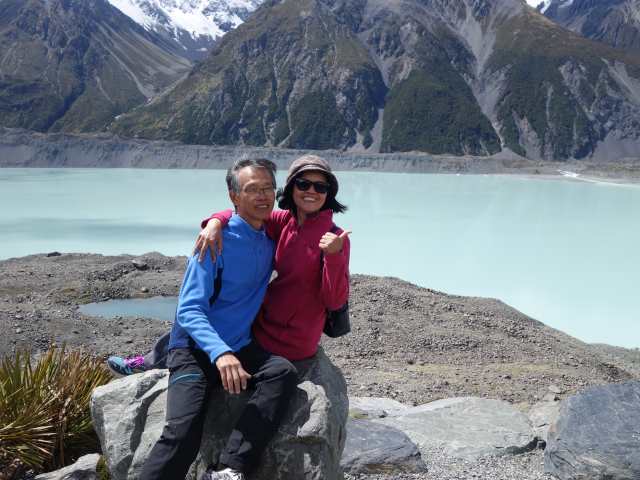
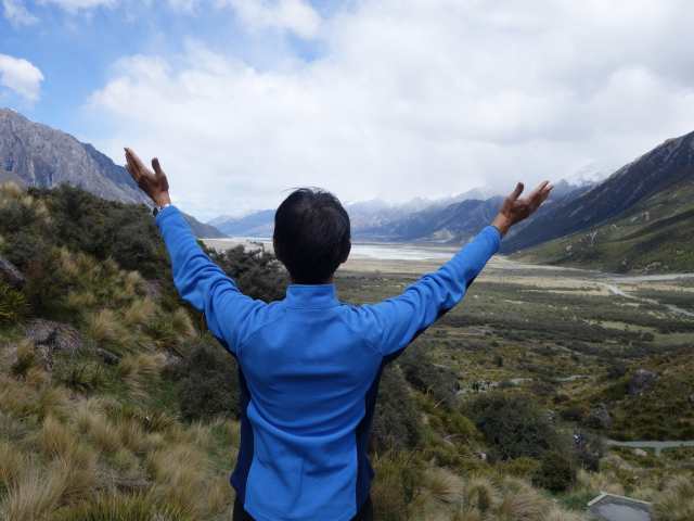
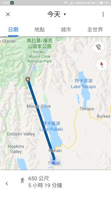
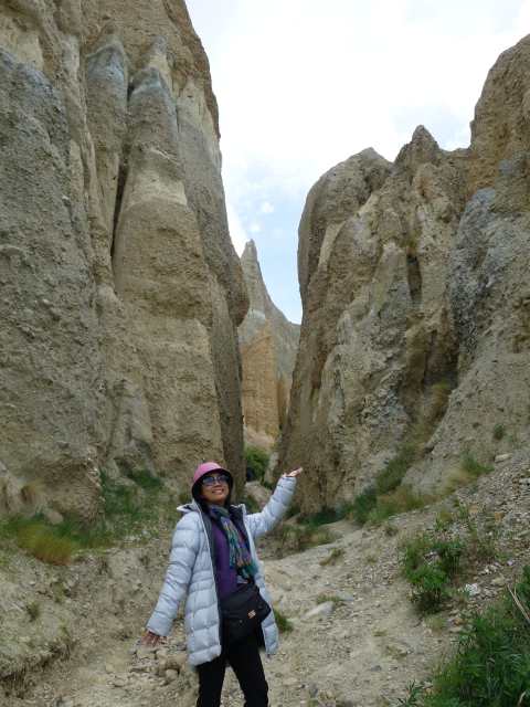
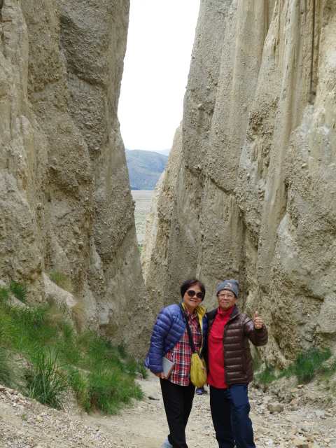
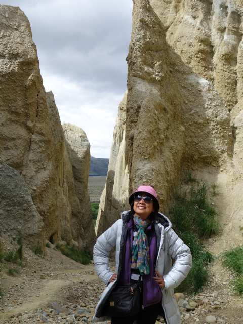
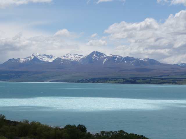
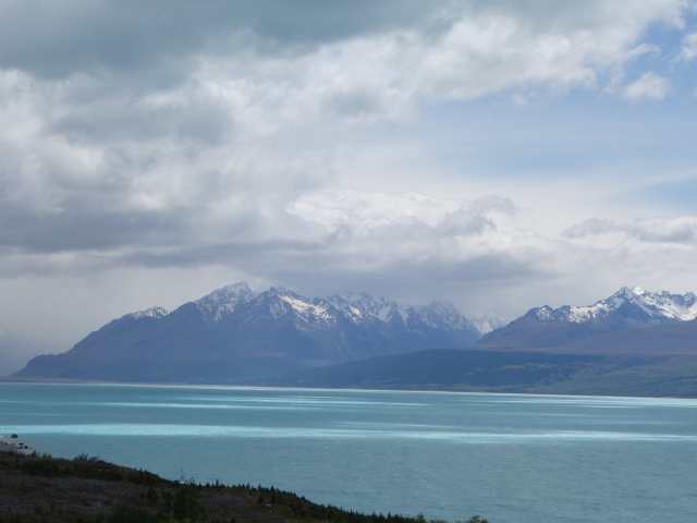
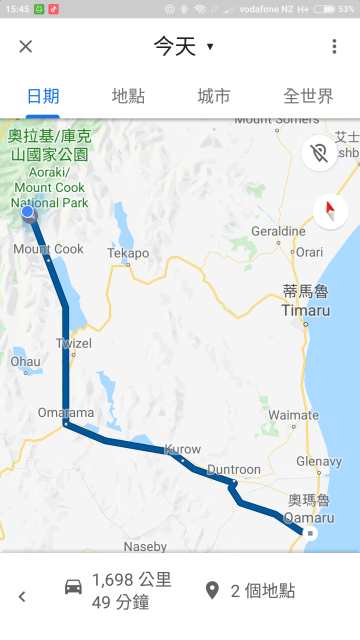
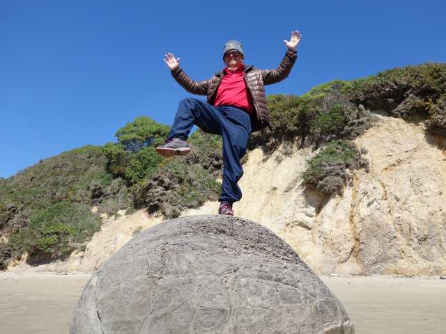
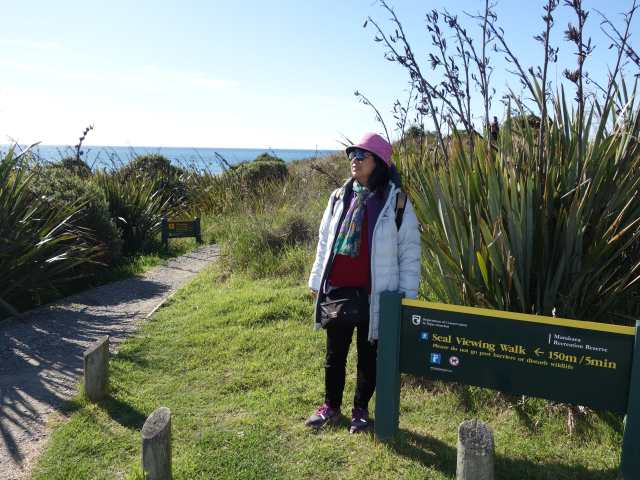
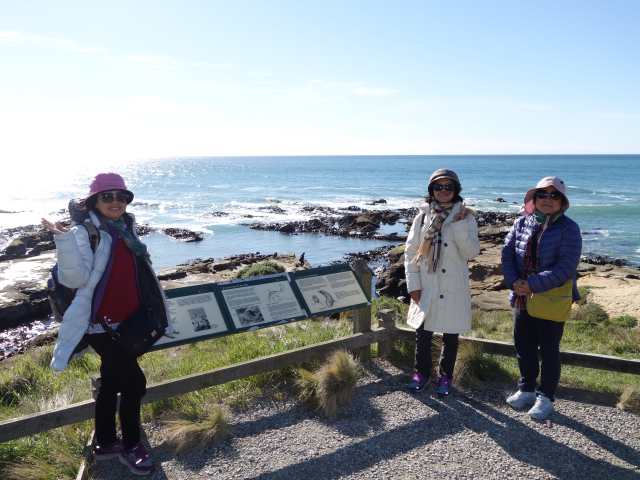
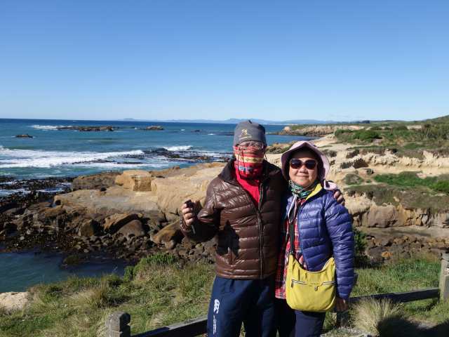
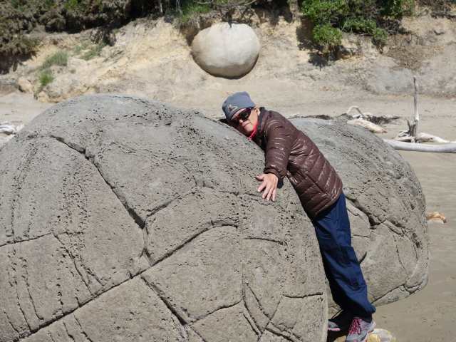
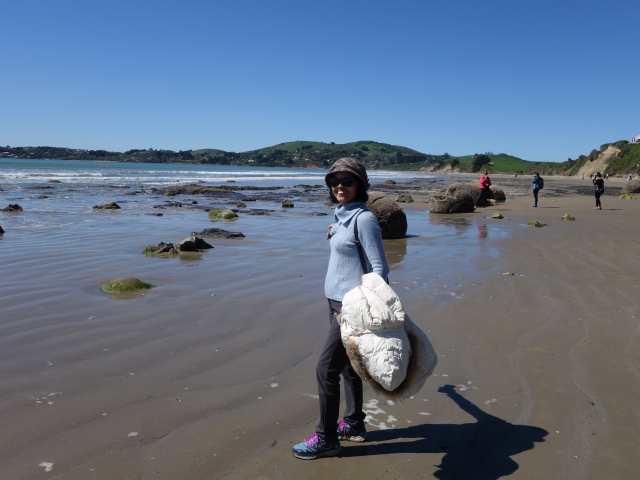
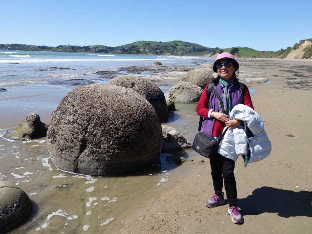
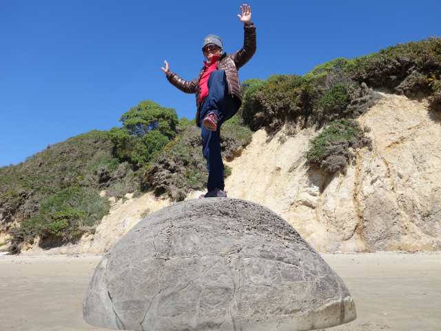
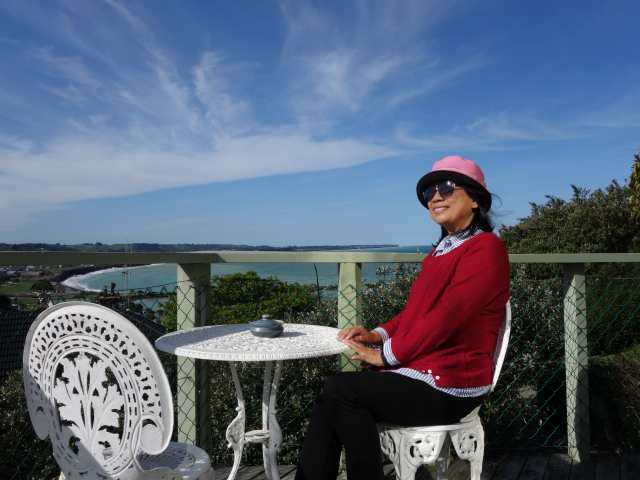
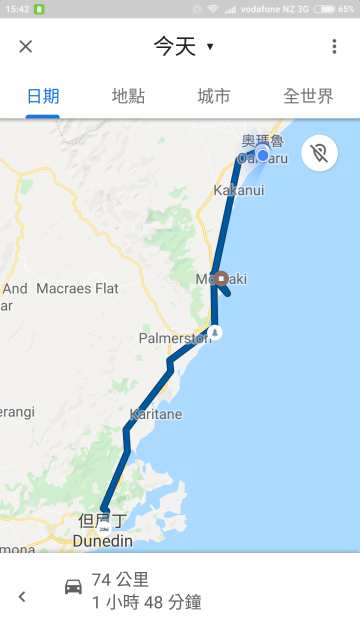
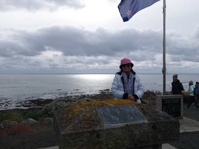
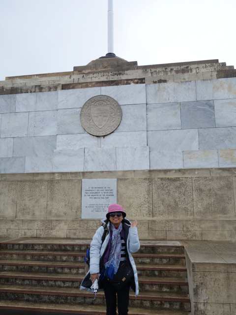
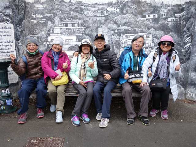
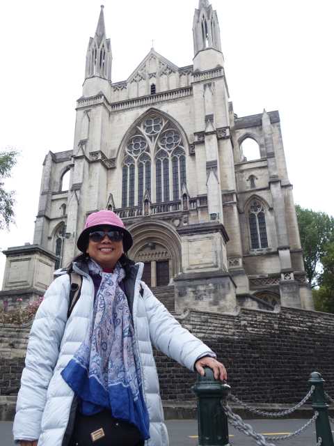
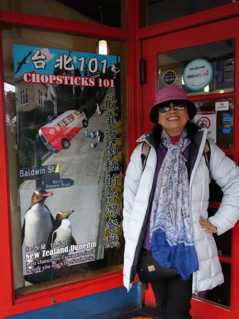
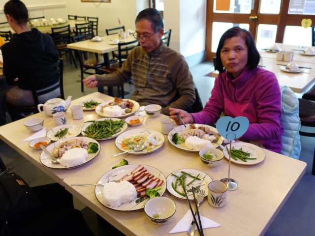
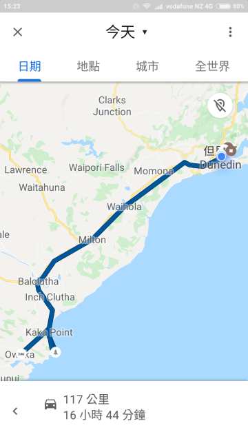
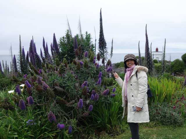
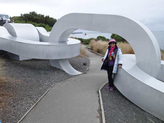
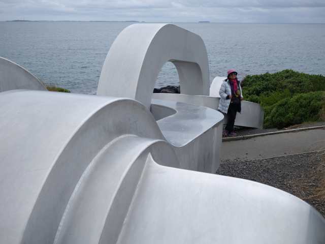
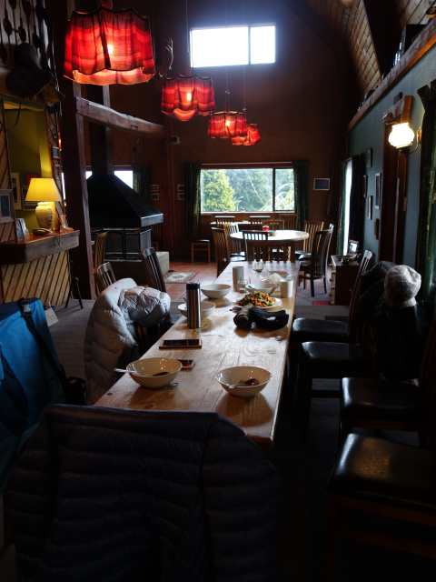
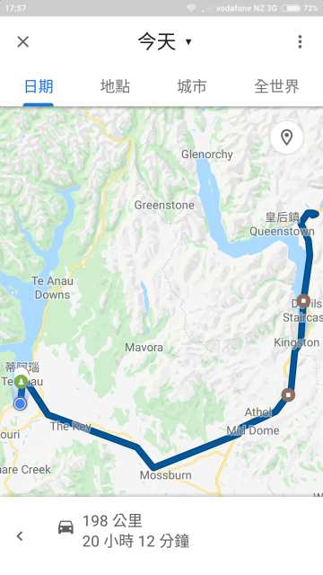
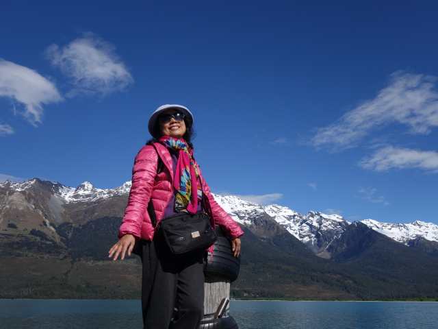
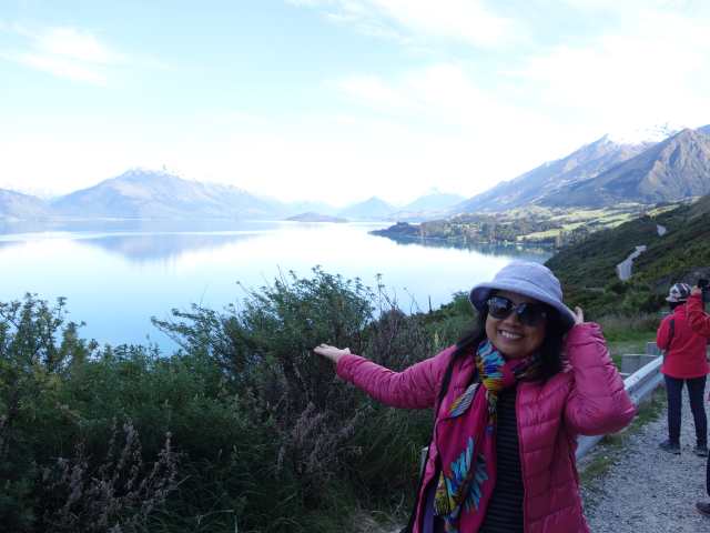
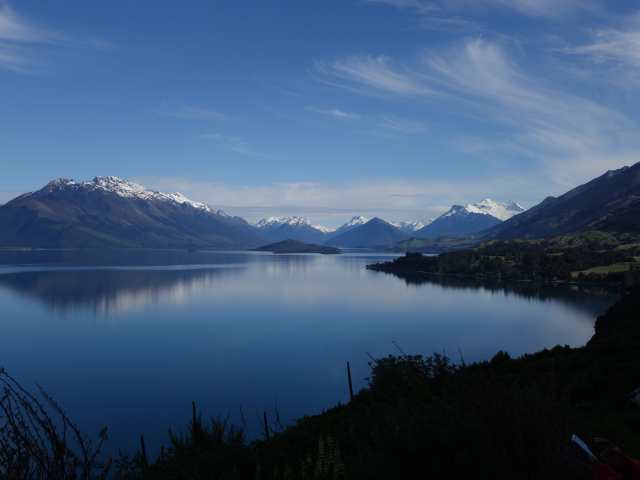
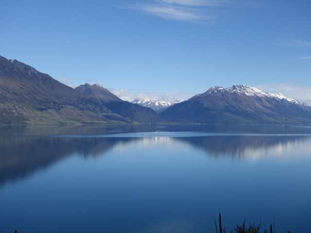
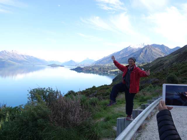
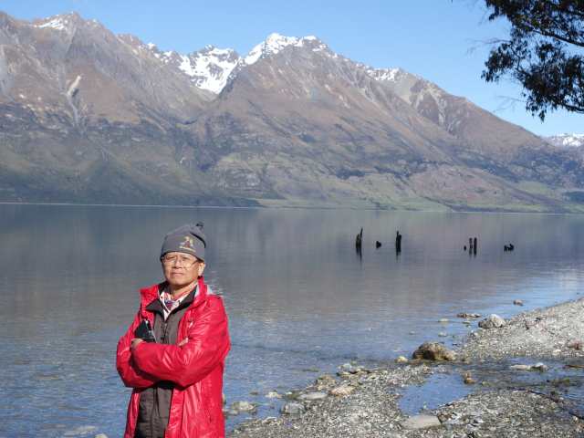
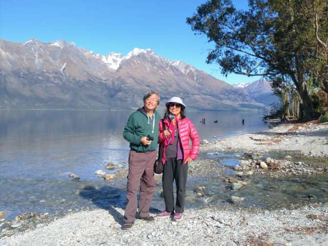
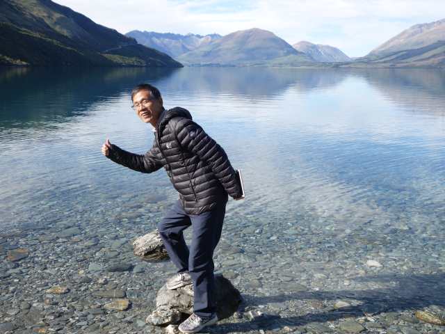
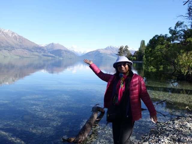
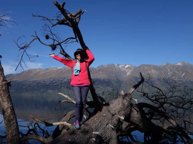
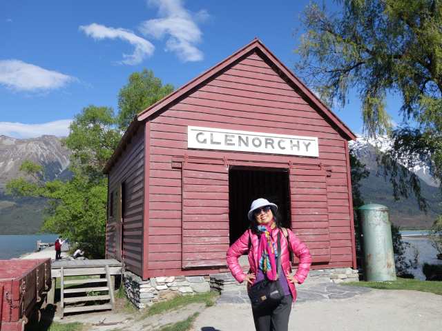
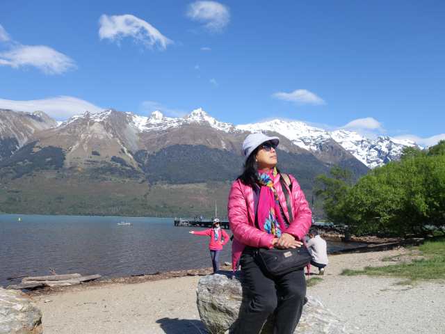
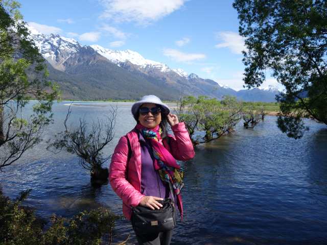
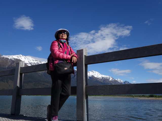
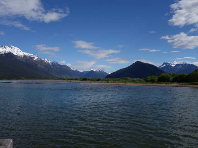
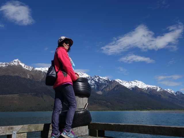
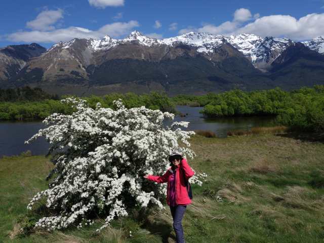
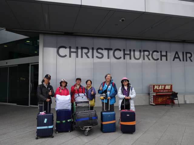
最後一天加滿油, 昨晚已於網頁繳清罰單, 故還車順利, 搭國泰由基督城飛香港轉機回台. 此次南島18天共計駕駛了3131公里, 因是柴油較便宜, 油費總共約465紐幣. 此行紐西蘭南北島自駕遊非常感謝Peter及小邱老師的事前行程景點及住宿的完備調研, 才使得過程甚少出意外, 唯一美中不足之處是天公不作美, 米佛峽灣當天因閃電打雷風雨不斷, 道路中斷, 輪船公司取消出航. 當時買Vodafone網卡20G, 事後發現只用了約9G (導航全用谷哥離線地圖既可), 2人共換2000紐幣現金全用完, 不足之處刷信用卡, 同時也注意到若是想開露營車朋友, 推薦三個點Wanaka, Tekapo, Akaroa是不錯的長駐點, 最後再次感謝此行團員大伙激盪出來的歡樂及旅行過程中的甘苦互助.
Posted Image
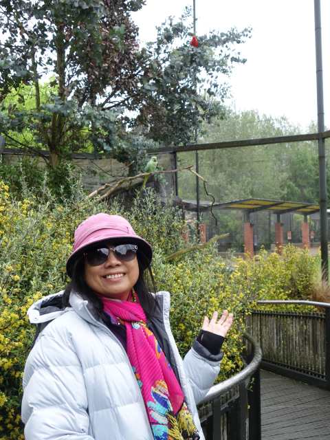
自駕遊26天, 平均每天步行約13000步.
Posted Image


Nancy 發表在 痞客邦 留言(2) 人氣()

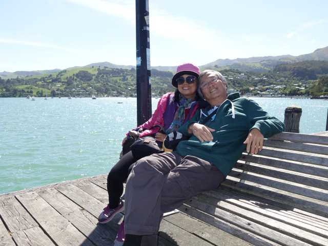
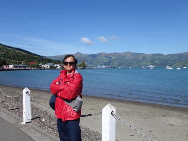
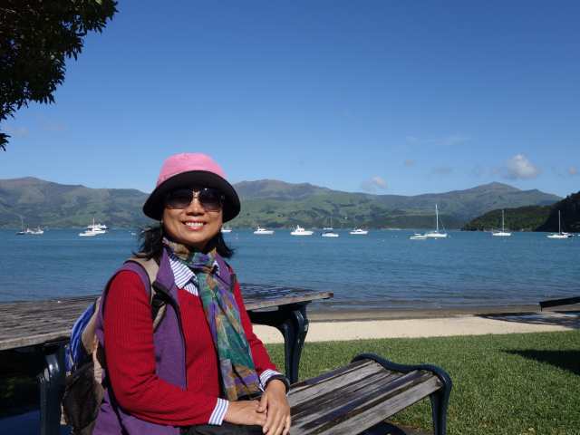
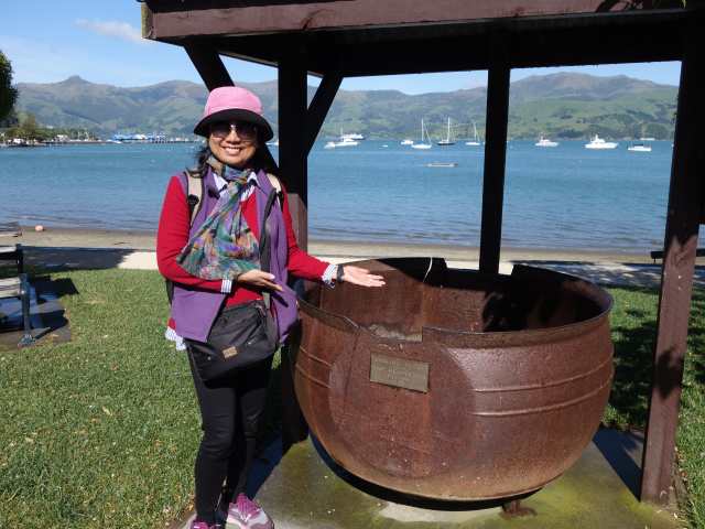
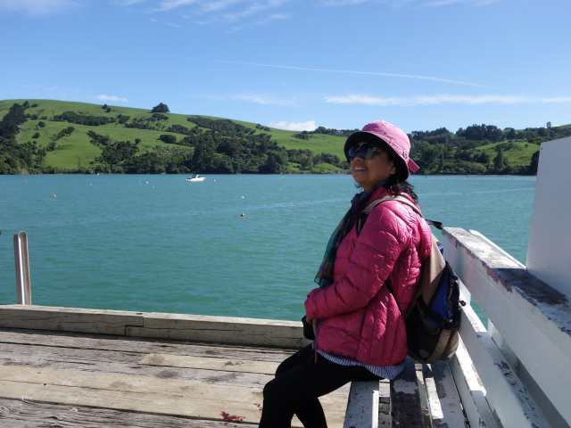
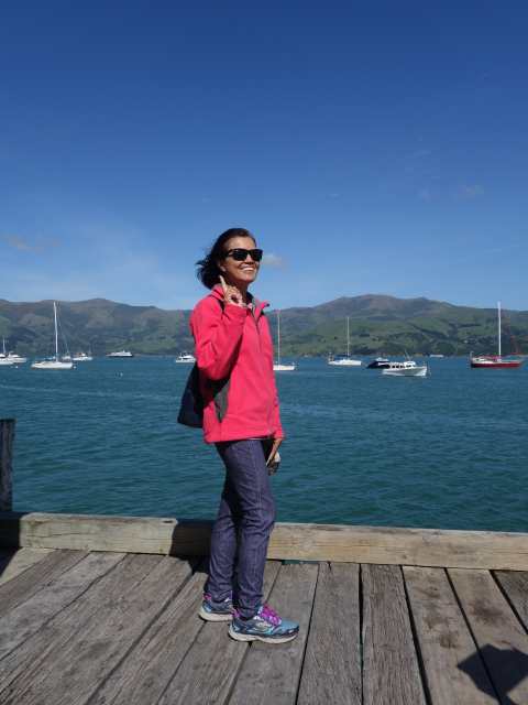
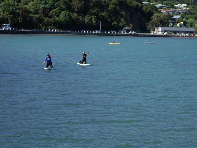
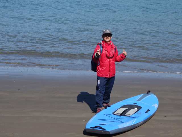
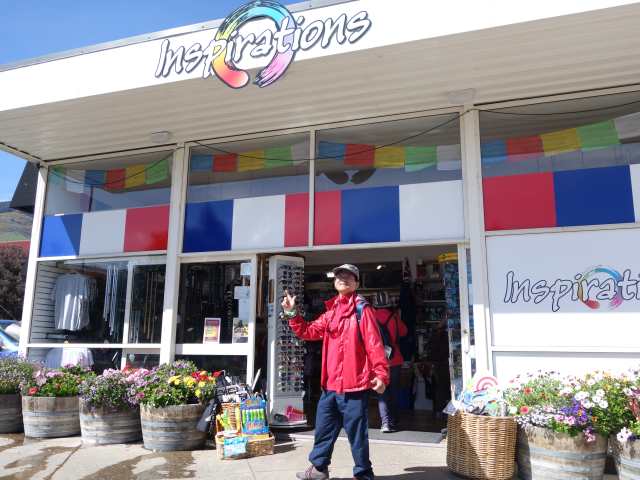
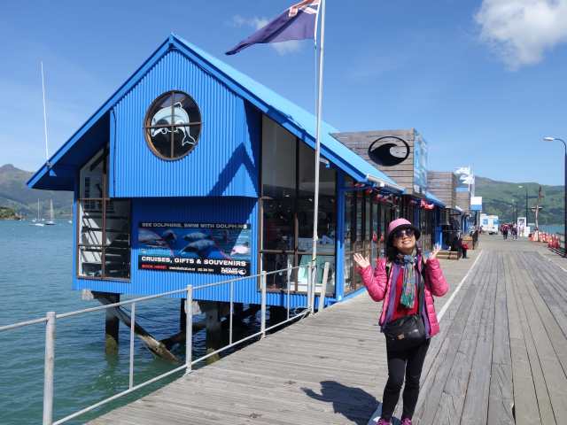
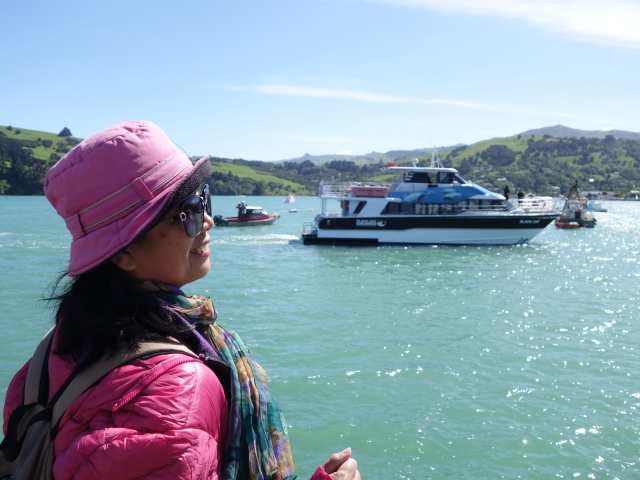
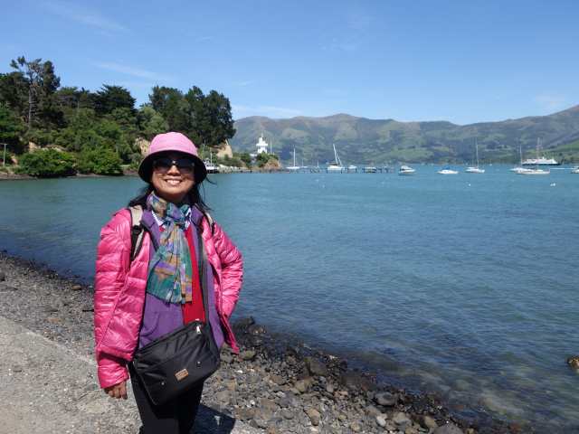
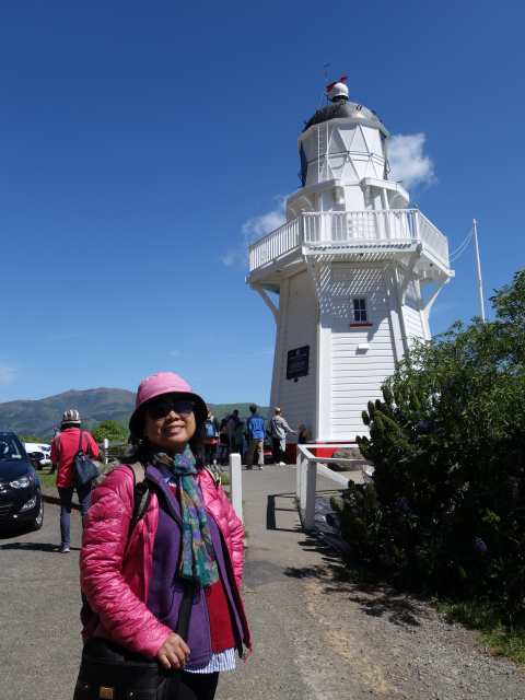
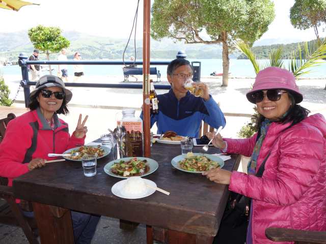
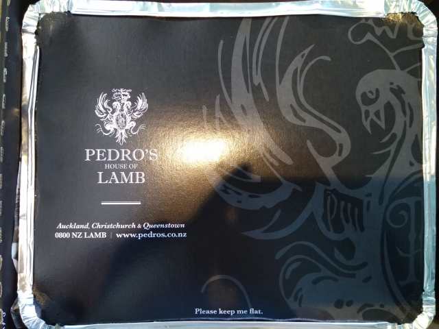
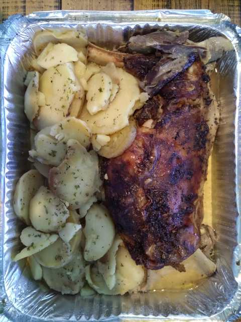
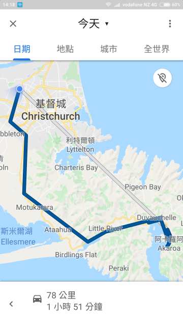
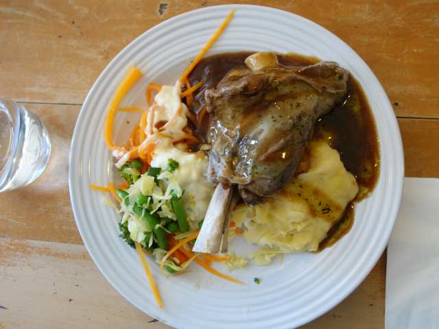
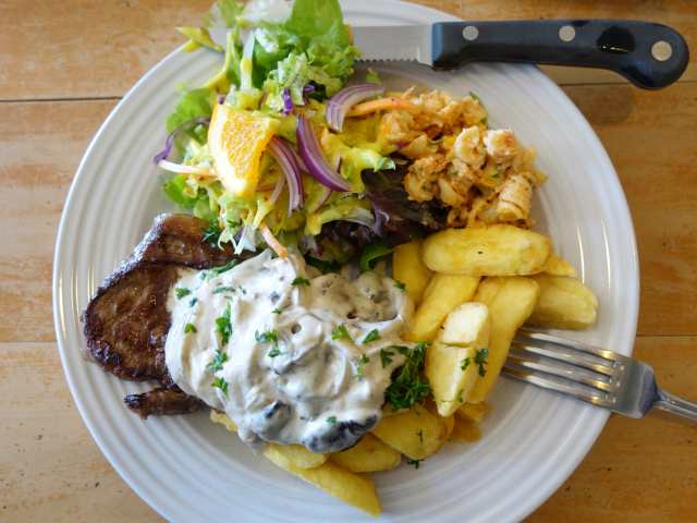
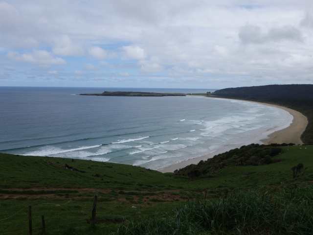
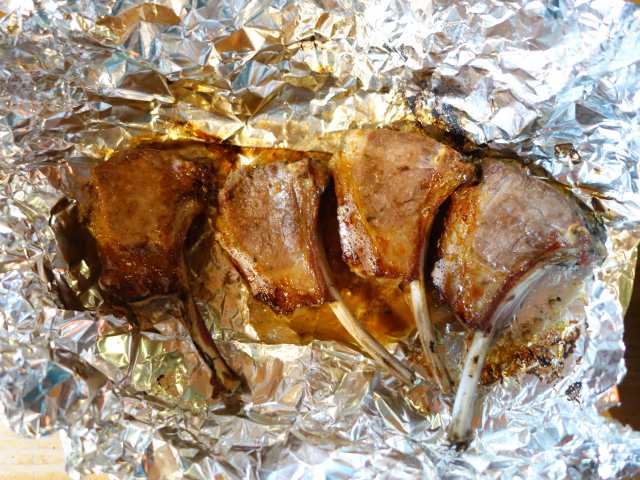
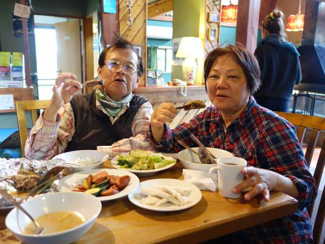
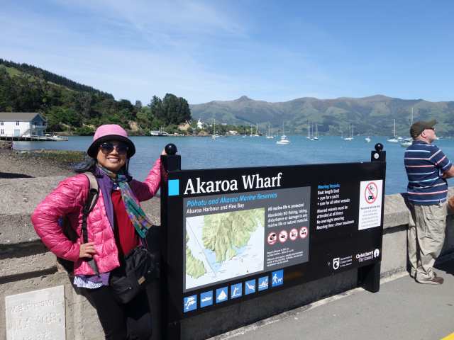
今天去逛基督城東南靠海約90分鐘車程的法國小鎮Akaroa (此地為法國人登陸點, 至今仍升法國旗), 為旅遊度假玩水聖地, 可搭船看海豚, 划獨木舟, 高速汽艇, 等等. 沿海岸線走走停停拍照, 欣賞風和日麗下的海灘美景, 中餐在靠岸邊餐廳外享用, 回程剛出小鎮, 意外吃了一張開車速度過慢的150罰單, 超級傻眼, 就當旅程終點前的意外插曲, 晚餐吃了一頓豐富 (2盒) PEDRO'S house of LAMB的羊肩排, 作為犒賞.
Posted Image
抵達距基督城東南靠海約90分鐘車程的法國小鎮Akaroa.
Posted Image
Posted Image
Posted Image
Posted Image
Posted Image
Posted Image
Posted Image
Posted Image
Posted Image
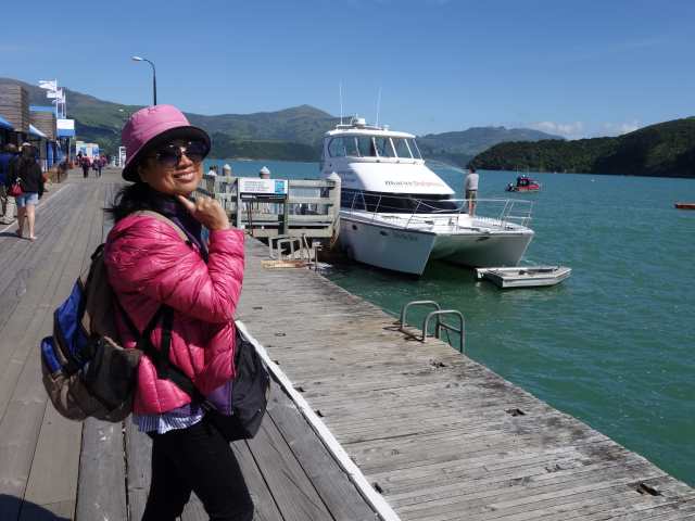
各種水上活動.
Posted Image
Posted Image
Posted Image
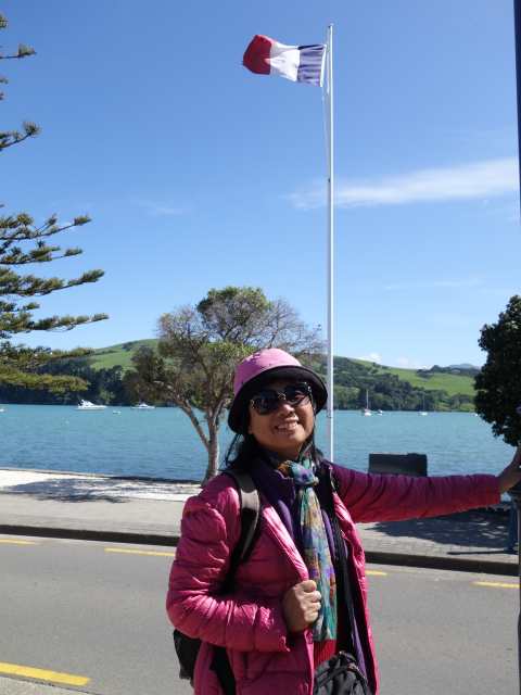
此地為法國人登陸點, 至今仍升法國旗.
Posted Image
Posted Image
Posted Image
Posted Image
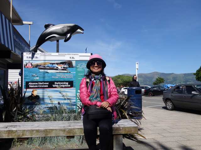
在此報名付費可出海看海豚.
Posted Image
Posted Image
Posted Image
Posted Image
Posted Image
Posted Image
Posted Image
中餐在靠岸邊餐廳外享用.
Posted Image
Posted Image
回程剛出小鎮, 意外吃了一張開車速度過慢的150罰單, 超級傻眼, 就當旅程終點前的意外插曲.
Posted Image
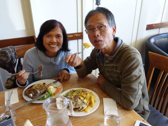
晚餐大伙吃了一頓豐富PEDRO'S house of LAMB的羊肩排, 作為犒賞.
Posted Image
Posted Image
Posted Image
當日路線圖.
Posted Image


Nancy 發表在 痞客邦 留言(1) 人氣()

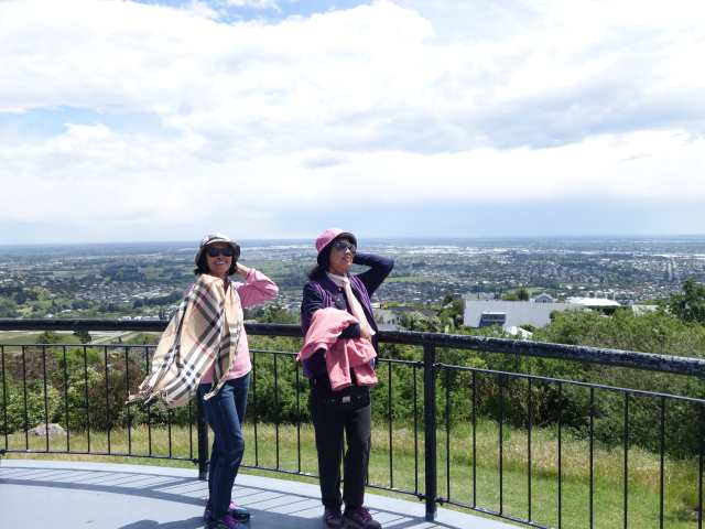
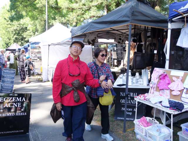
今天行程開始往東北朝基督城前進, 首站在Fairlie小鎮品嚐Fairlie Bakehouse的鮭魚派, 酥皮包鮭魚饀, 濃醇可口, 時值假日到Talbot Forest Cheese逛市集, Farmers Corner稍事歇息, Cashmere Hill Lookout登頂鳥瞰基督城, 午後Check-in Jucy Snooze.
Posted Image
Fairlie小鎮品嚐Fairlie Bakehouse的鮭魚派, 酥皮包鮭魚饀, 濃醇可口.
Posted Image
Posted Image
Posted Image
Talbot Forest Cheese逛市集.
Posted Image
Posted Image
Posted Image
Posted Image
Posted Image
Posted Image
Cashmere Hill Lookout登頂鳥瞰基督城.
Posted Image
Posted Image
Posted Image
當日路線圖.
Posted Image


Nancy 發表在 痞客邦 留言(0) 人氣()

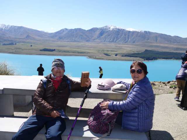
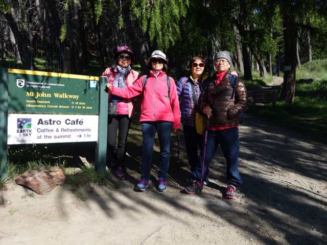
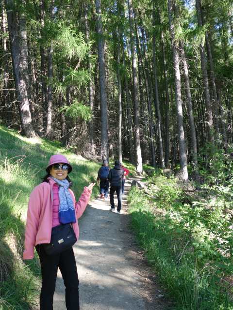
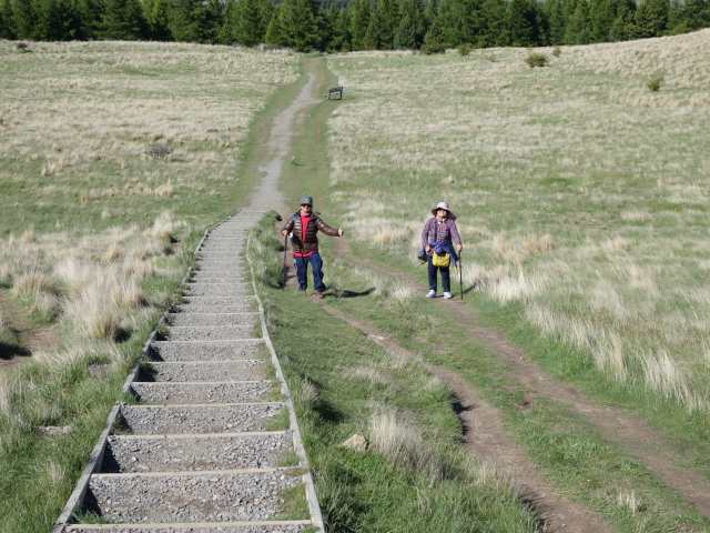
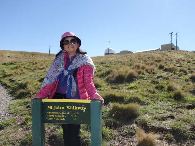
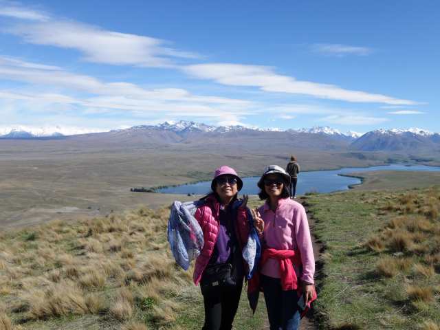
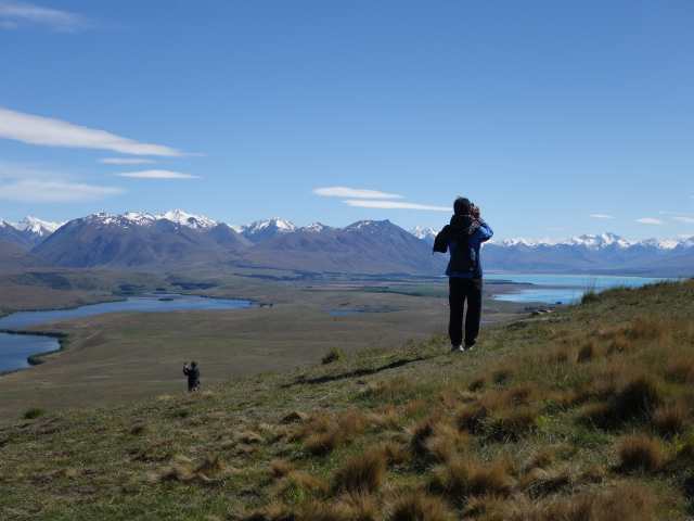
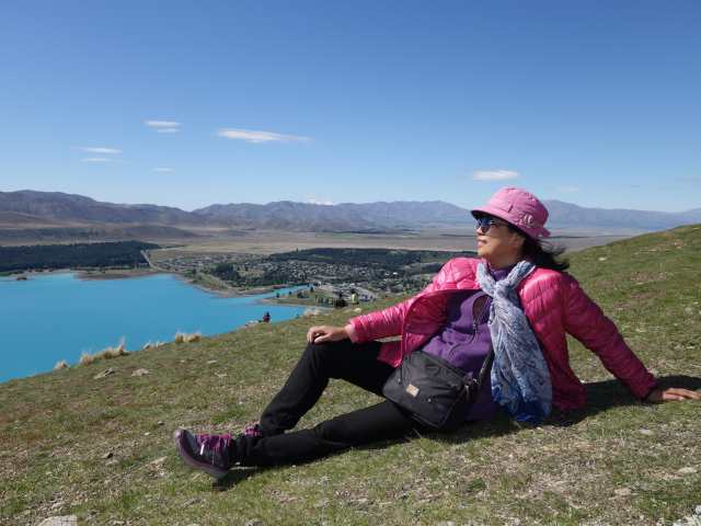
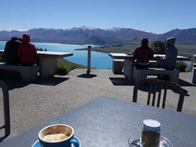
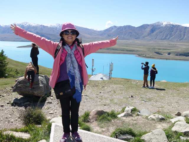
今天前往與Lake Pukaki旁邊的Lake Tekapo, 首站走約翰山天文台(Mt John Observatory) 步道, 來回1.5小時, 登頂可腑瞰整個Lake Tekapo, 有天文台及咖啡店. 午後Check-in住宿處YHA Lake Tekapo前, 先步行過Footbridge參觀Church of the Good Shepherd (善良牧羊人教堂), 在此晚上可觀星 (聯合國教科文認可之最佳觀星點).
Posted Image
走約翰山天文台(Mt John Observatory) 步道, 來回1.5小時.
Posted Image
Posted Image
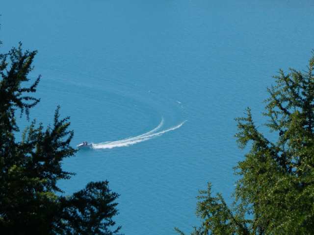
Lake Tekapo湖水呈藍色, 絕美!
Posted Image
Posted Image
Posted Image
Posted Image
Posted Image
Posted Image
Posted Image
Posted Image
Posted Image
Posted Image
登頂可腑瞰整個Lake Tekapo, 有天文台及咖啡店.
Posted Image
Posted Image
Posted Image
Posted Image
Posted Image
Lake Tekapo湖旁的魯冰花盛開.
Posted Image
Posted Image
Posted Image
過Footbridge參觀Church of the Good Shepherd (善良牧羊人教堂).
Posted Image
Posted Image
Posted Image
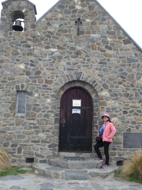
Church of the Good Shepherd (善良牧羊人教堂).
Posted Image
Posted Image
Posted Image
Posted Image
Posted Image
當日路線圖.
Posted Image


Nancy 發表在 痞客邦 留言(0) 人氣()

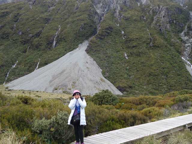
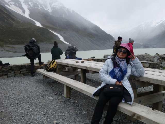
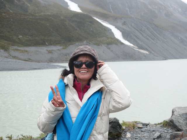
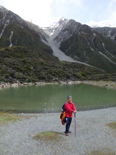
雖然昨晚是閃電打雷風雨交加, 幸好老天爺保佑, 今早開始雨轉小到無, 趕快約好大伙走Hooker Vally步道, 來回3小時, 途經3座吊橋, 最終目睹眼前冰川延伸到Hooker River, 回程時天空放晴, 整個心情放寬心, 接著意猶未盡, 走Tasman Lake步道, 1小時來回, 看Blue Lake及Tasman Lake, 冰川融雪流入Tasman Lake. 午後到最貴的Hermitage Hotel參觀, 下午住進Swizel民宿.
Posted Image
Posted Image
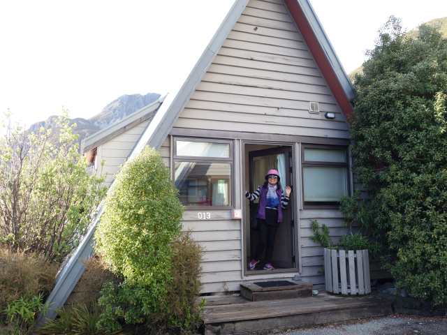
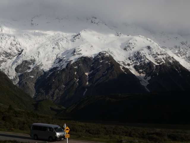
由小木屋門口就可眺望雪山.
Posted Image
Posted Image
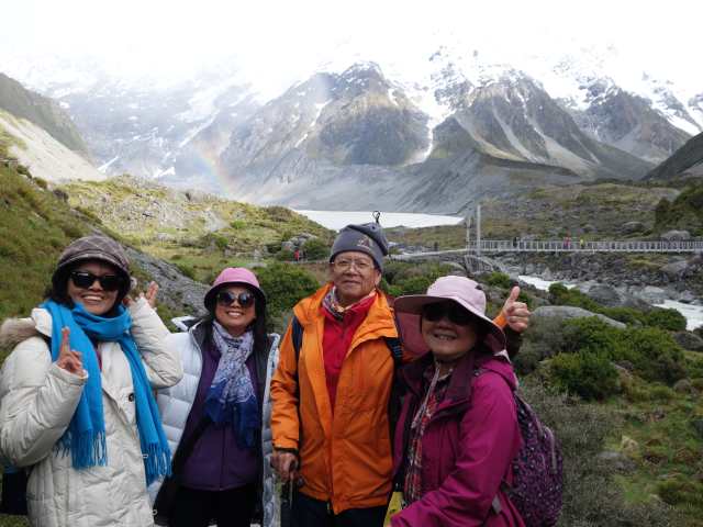
走Hooker Vally步道, 來回3小時.
Posted Image
第1座吊橋.
Posted Image
Posted Image
Posted Image
Posted Image
Posted Image
第2座吊橋.
Posted Image
Posted Image
Posted Image
Posted Image
第3座吊橋.
Posted Image
Posted Image
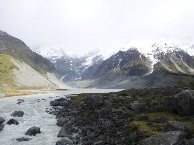
步道終點目睹眼前冰川延伸到Hooker River.
Posted Image
Posted Image
Posted Image
Posted Image
Posted Image
Posted Image
走Tasman Lake步道, 1小時來回.
Posted Image
Blue Lake已變綠.
Posted Image
Tasman Lake.
Posted Image
Posted Image
Posted Image
Posted Image
Tasman Lake上有輕舟及浮冰.
Posted Image
Posted Image
Posted Image
Posted Image
Posted Image
Posted Image
Posted Image
Posted Image
Posted Image
當日路線圖.
Posted Image


Nancy 發表在 痞客邦 留言(0) 人氣()

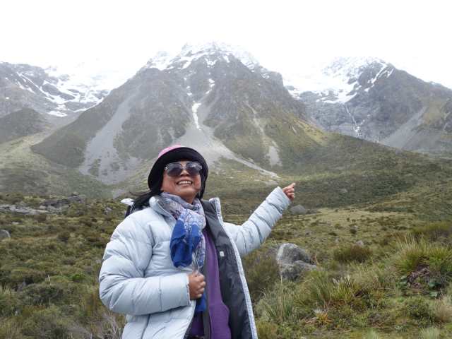
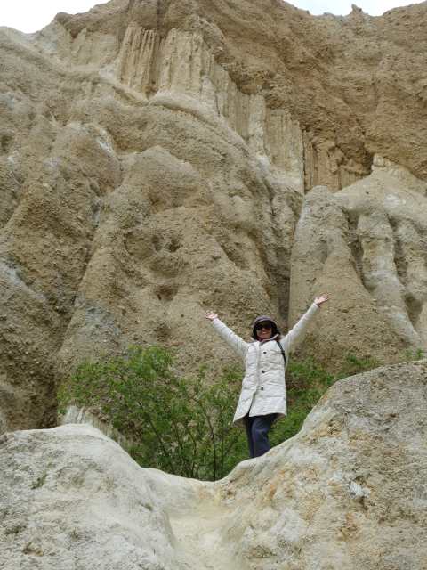
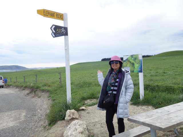
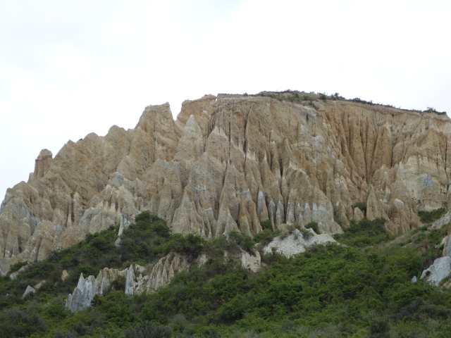
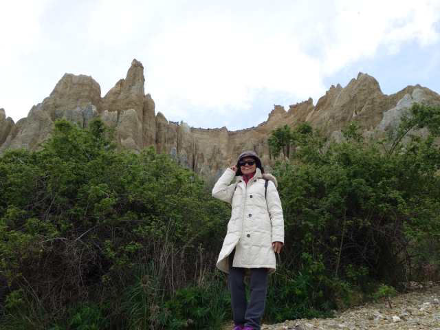
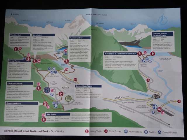
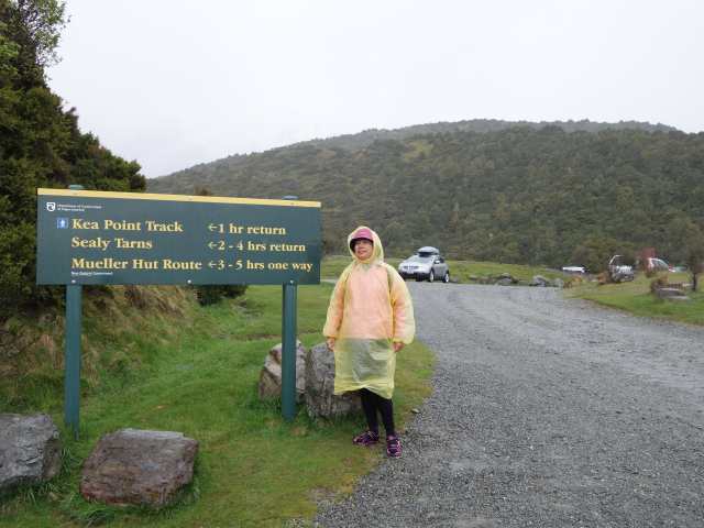
記得在Glennochy碰到在地的聊天說, 庫克山 (Mt Cook) 更值得一遊, 是紐西蘭第一高峰, 健行者天堂, 海拔3724公尺, 終年結冰的冰川、冰河, 多樣多變的獨特自然景觀, 今天就是往北前進, 首站Elephant Rocks看怪石及羊屎, Clay Cliffs (石灰岩峭壁) 看類似月世界陡峭山壁, 庫克山谷中有步道10條, 主要選三條有名步道走走, Hooker Vally Track, Kea Point Track, Tasman Lake, 先入住Mt Cook Chalets小木屋, 今天計劃先走Kea Point Track步道, 來回1小時, 但風大雨大, 照相後返回, 團員另4人堅持走到底.
Posted Image
Elephant Rocks看怪石及羊屎.
Posted Image
Posted Image
Clay Cliffs (石灰岩峭壁) 看類似月世界陡峭山壁.
Posted Image
Posted Image
Posted Image
Posted Image
Posted Image
Posted Image
Posted Image
Posted Image
Posted Image
Lake Pukaki.
Posted Image
Posted Image
Posted Image
庫克山谷中有步道10條, 主要選三條有名步道走走, Hooker Vally Track, Kea Point Track, Tasman Lake.
Posted Image
Posted Image
今天計劃先走Kea Point Track步道, 來回1小時, 但風大雨大, 照相後返回, 團員另4人堅持走到底.
Posted Image
當日路線圖.
Posted Image


Nancy 發表在 痞客邦 留言(0) 人氣()

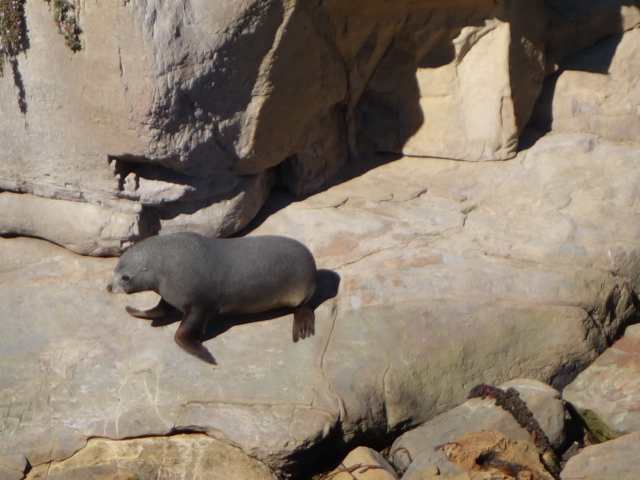
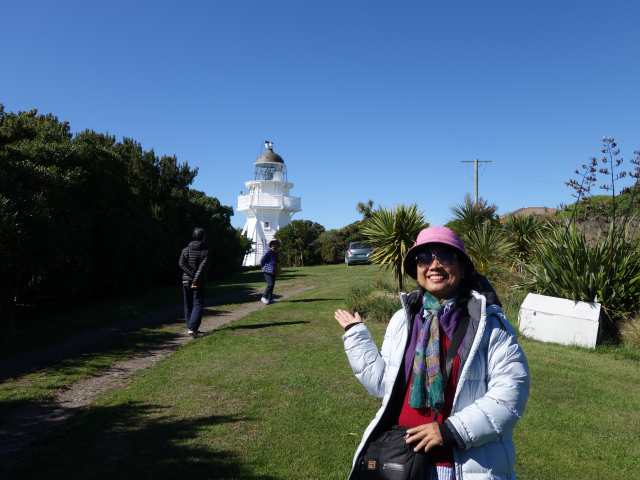
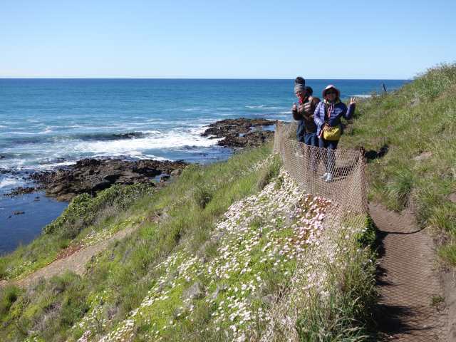
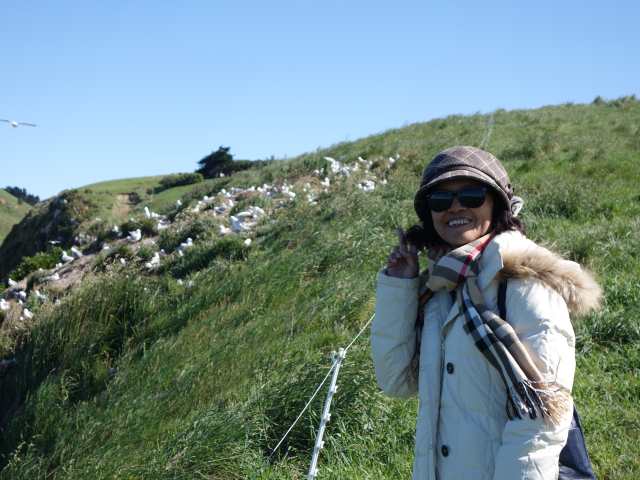
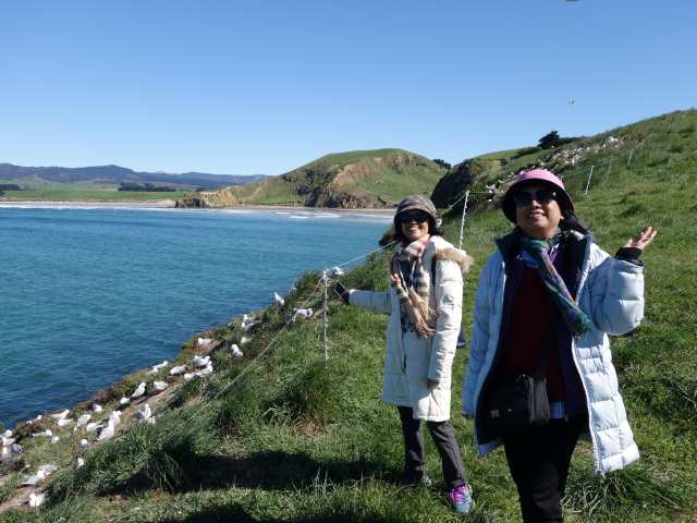
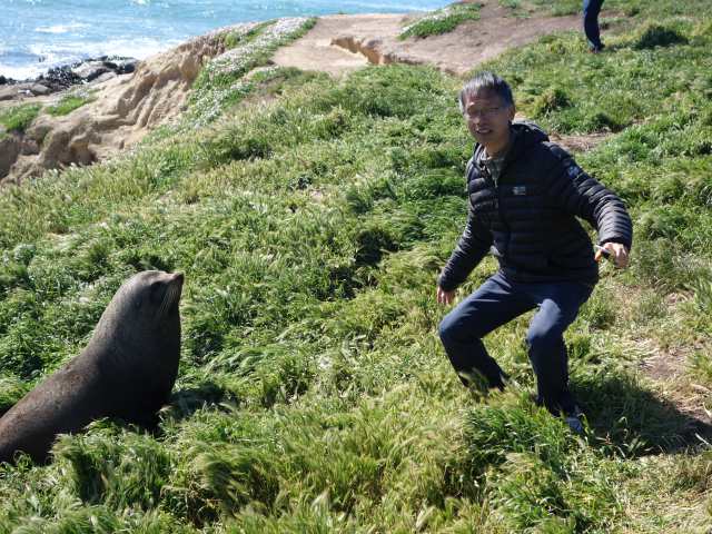
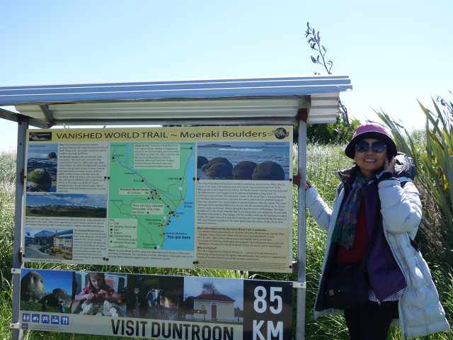
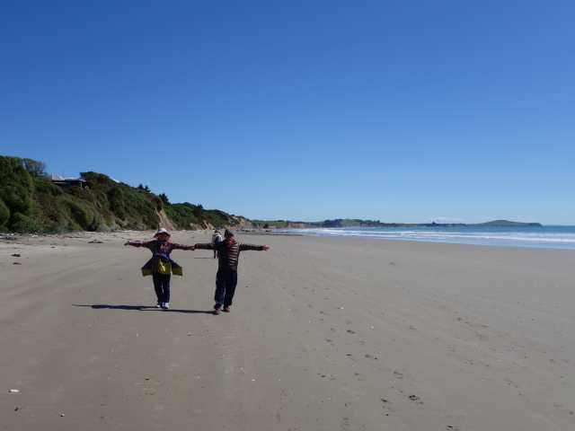
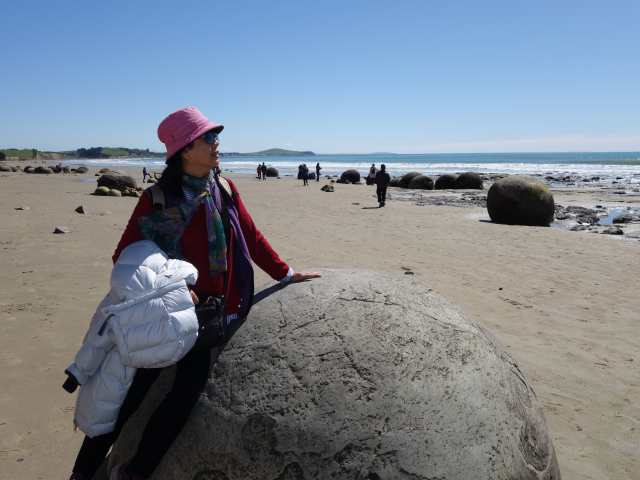
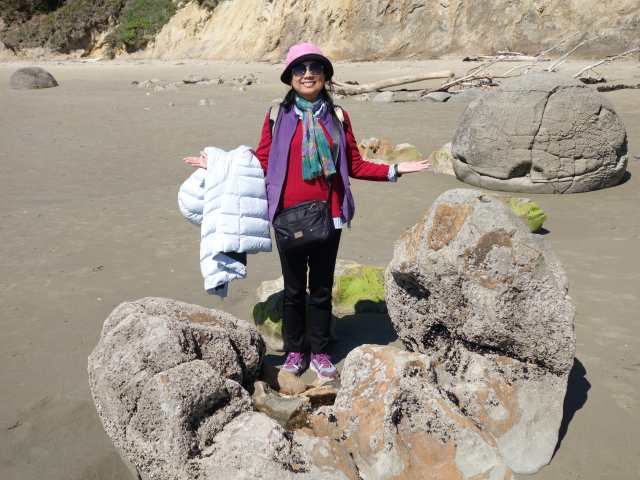
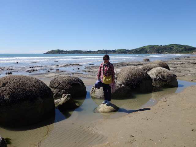
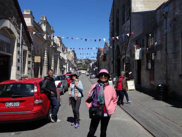
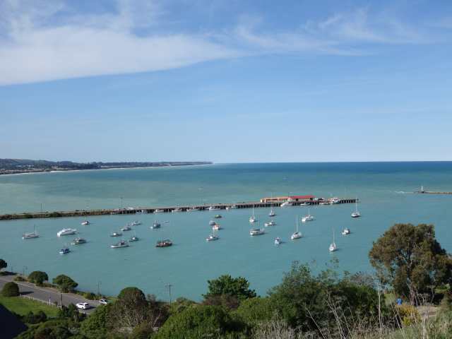
今天沿南部海岸線往Omaru方向前進, 首站Shag Point看海獅棲息地, Katiki Point Lighthouse看企鵝, 可惜無緣, 但看到很多海鳥及海獅, Moeraki Boulders莫拉基大圓石, 在退潮時可看到沙灘上眾多的大圓石, 中午抵Oamaru鎮, 在Star and Garter Restaurant享用羊小腿, Tyne Historic Precinct歷史城區, 舊倉庫區走走逛逛, 午後入住Ocean View on Avon, 面海景觀佳的小木屋.
Posted Image
Shag Point看海獅棲息地.
Posted Image
Posted Image
Posted Image
Posted Image
Katiki Point Lighthouse看企鵝, 可惜無緣, 但看到很多海鳥及海.
Posted Image
Posted Image
Posted Image
Posted Image
Posted Image
Posted Image
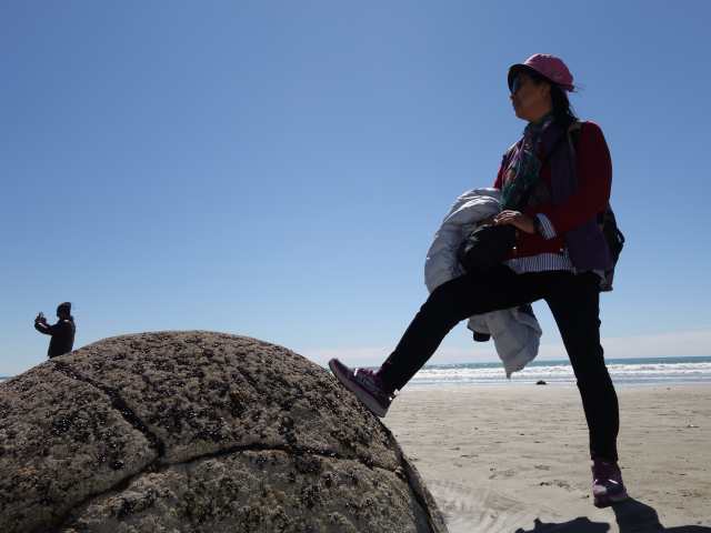
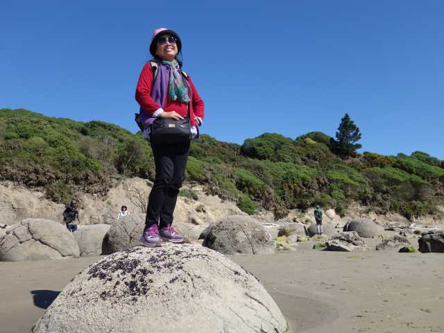
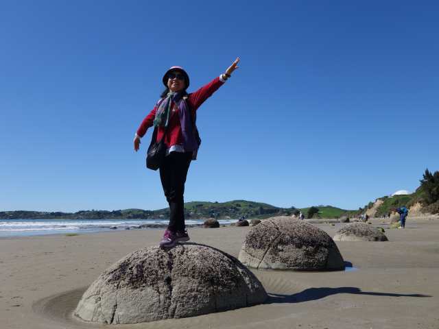
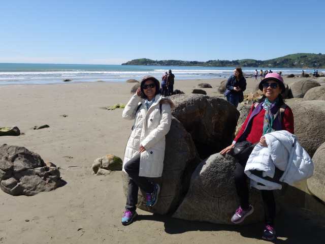
Moeraki Boulders莫拉基大圓石, 在退潮時可看到沙灘上眾多的大圓石.
Posted Image
Posted Image
Posted Image
Posted Image
Posted Image
Posted Image
Posted Image
Posted Image
Posted Image
Posted Image
Posted Image
Posted Image
Posted Image
Oamaru鎮Star and Garter Restaurant享用羊小腿.
Posted Image
Posted Image
Posted Image
Posted Image
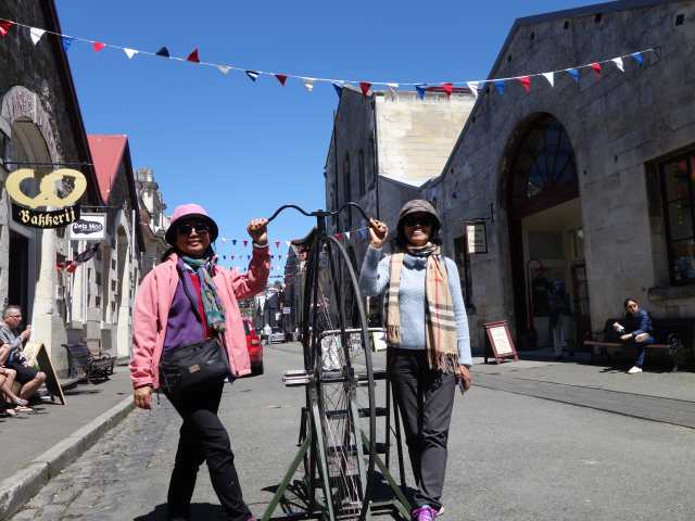
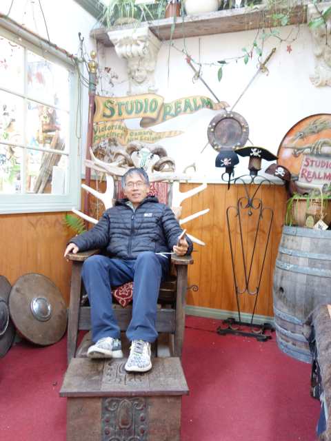
Tyne Historic Precinct歷史城區, 舊倉庫區走走逛逛.
Posted Image
Posted Image
Posted Image
Posted Image
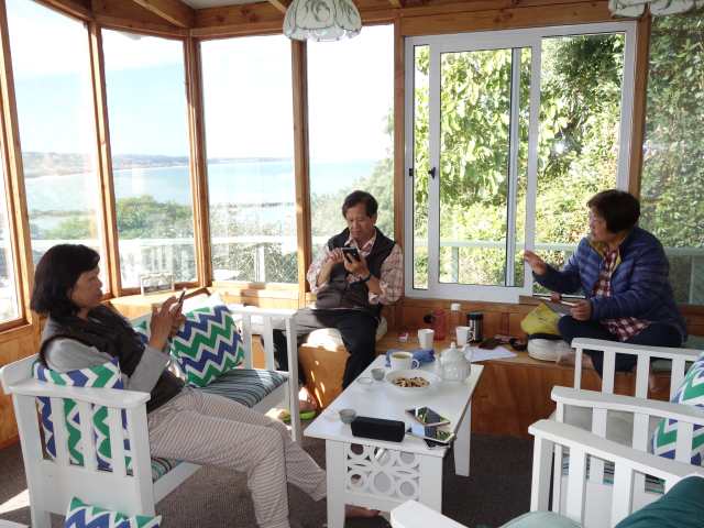
入住Ocean View on Avon, 面海景觀佳的小木屋.
Posted Image
Posted Image
Posted Image
當日路線圖.
Posted Image


Nancy 發表在 痞客邦 留言(0) 人氣()

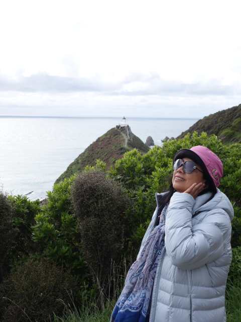
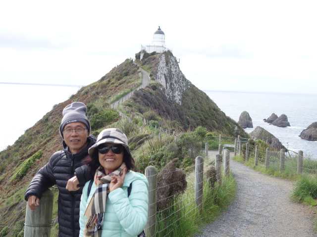
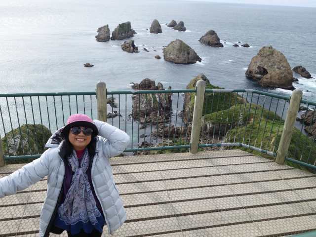
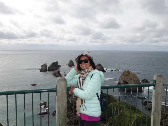
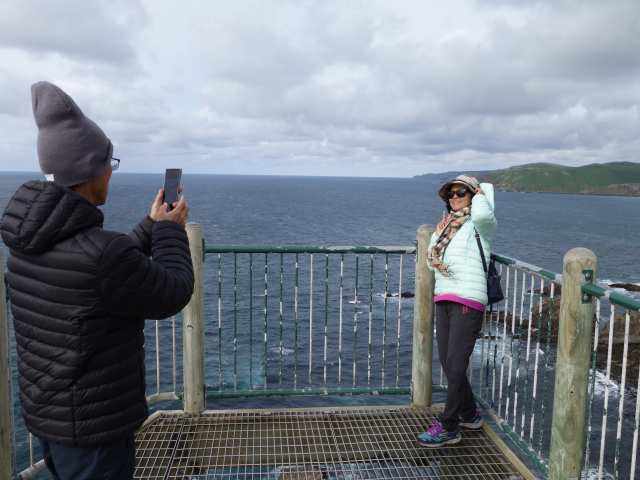
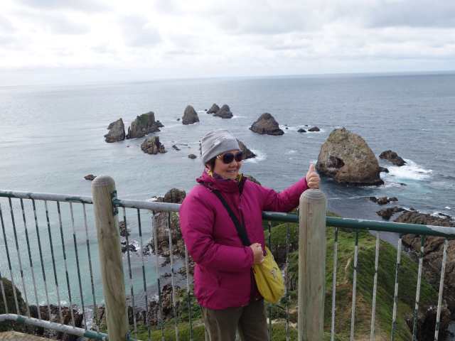
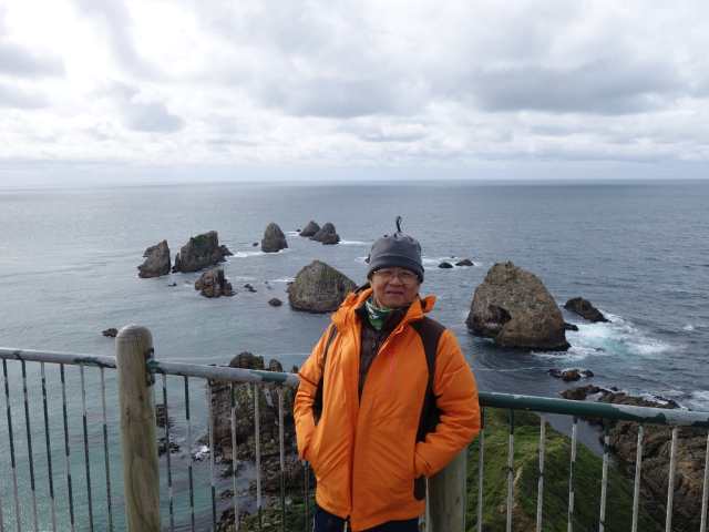
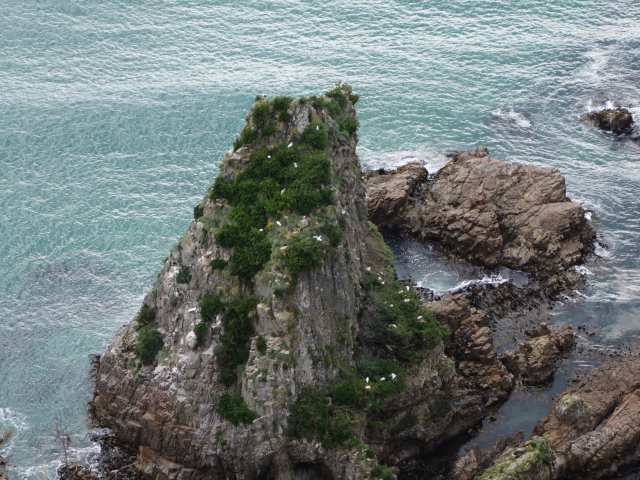
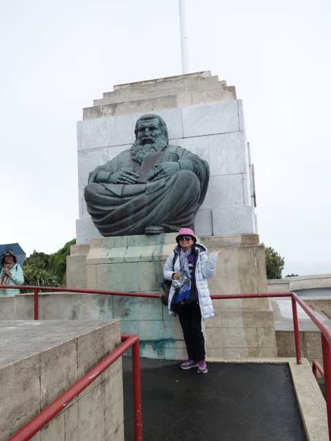
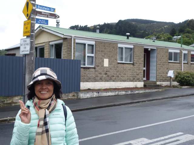
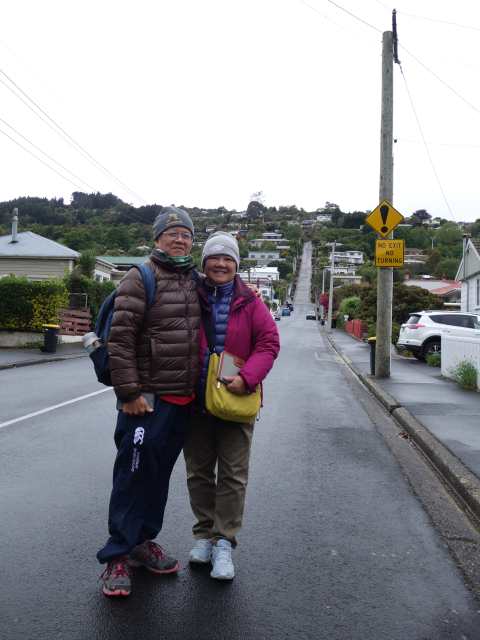
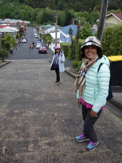
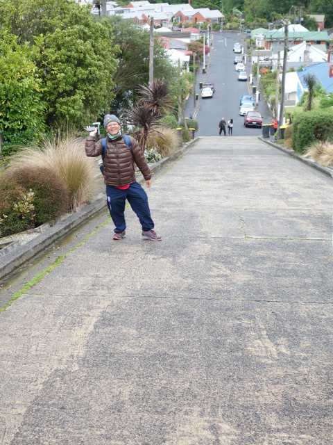
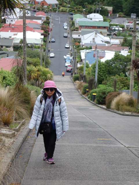
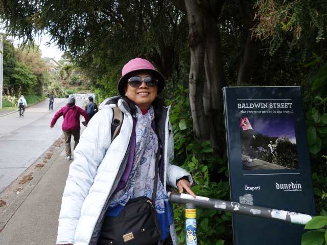
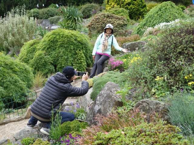
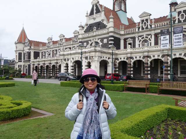
揮別南島鄉間風光非綠 (草地) 既黃 (花) 加上點點白色 (綿羊) 點綴畫面, 今天沿南部海岸線往但尼丁Dunedin方向前進, 首站Kaka Point看綠梅石槽, Nugget Point看燈塔及點點礁岩, 中餐在Dunedin市區Mall內解決, 午後遊信號山 (Signal Hill), 鳥瞰但尼丁全市最佳的地點, 海拔約 393公尺. 博文街 (Baldwin Street) 是列入金氏世界紀錄上最陡的街道, 坡度達到為35%, 但尼丁植物園 ( Dunedin Botanic Garden), 午後入住火車站附近Law Courts Hotel, 晚餐前逛但尼丁火車站, 八角公園, 聖保羅大教堂, 第一教堂, University of Otago.
Posted Image
Kaka Point看綠梅石槽.
Posted Image
Nugget Point看燈塔及點點礁岩.
Posted Image
Posted Image
Posted Image
Posted Image
Posted Image
Posted Image
Posted Image
Posted Image
Posted Image
Posted Image
Posted Image
Posted Image
遊信號山 (Signal Hill).
Posted Image
Posted Image
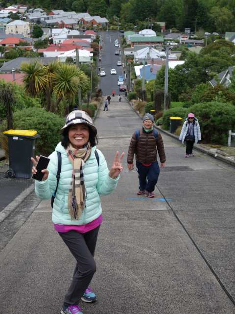
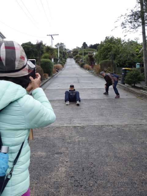
博文街 (Baldwin Street) 是列入金氏世界紀錄上最陡的街道, 坡度達到為35%.
Posted Image
Posted Image
Posted Image
Posted Image
Posted Image
Posted Image
Posted Image
Posted Image
Posted Image
Posted Image
Posted Image
Posted Image
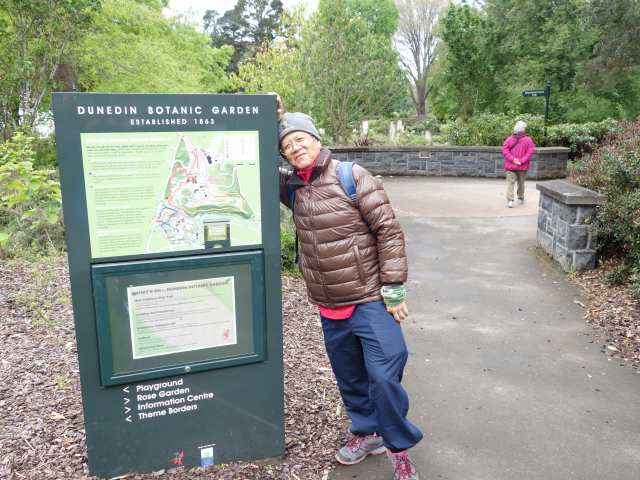
但尼丁植物園 ( Dunedin Botanic Garden).
Posted Image
Posted Image
Posted Image
Posted Image
Posted Image
Posted Image
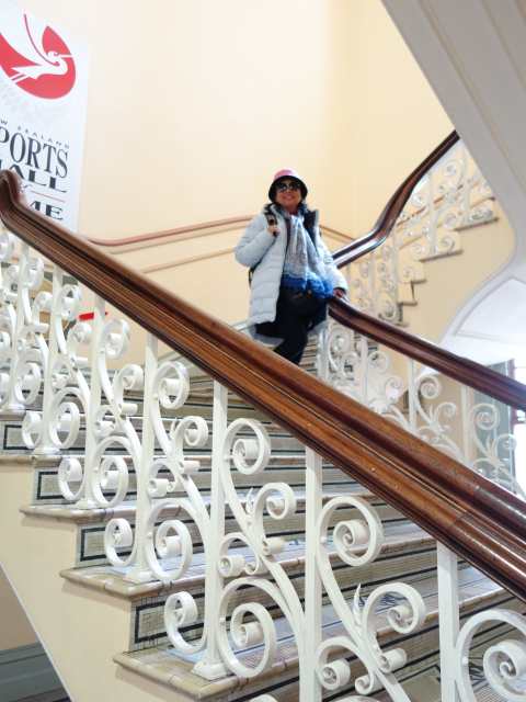
但尼丁火車站.
Posted Image
Posted Image
Posted Image
八角公園.
Posted Image
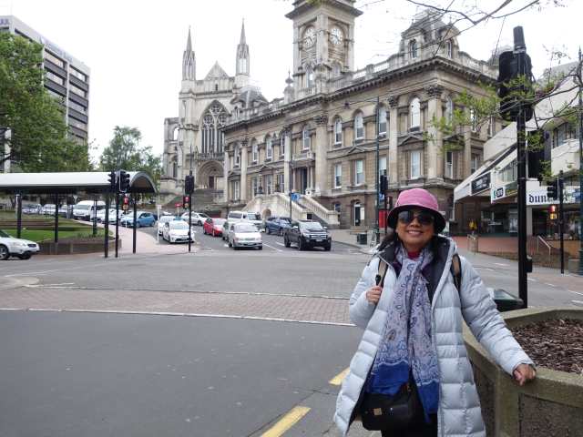
聖保羅大教堂.
Posted Image
Posted Image
第一教堂.
Posted Image
University of Otago.
Posted Image
Posted Image
當日路線圖.
Posted Image


Nancy 發表在 痞客邦 留言(1) 人氣()

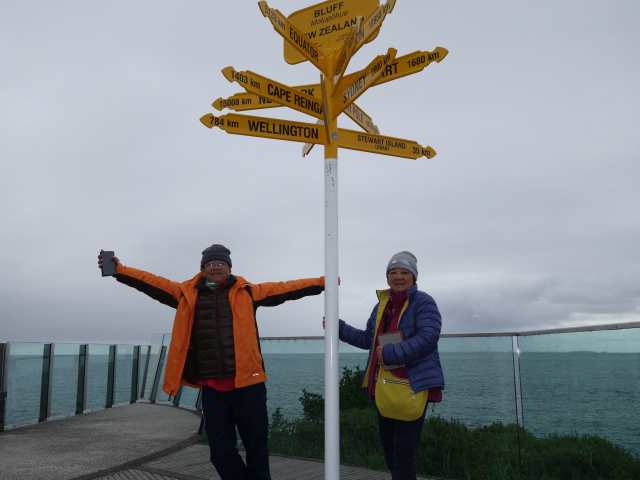
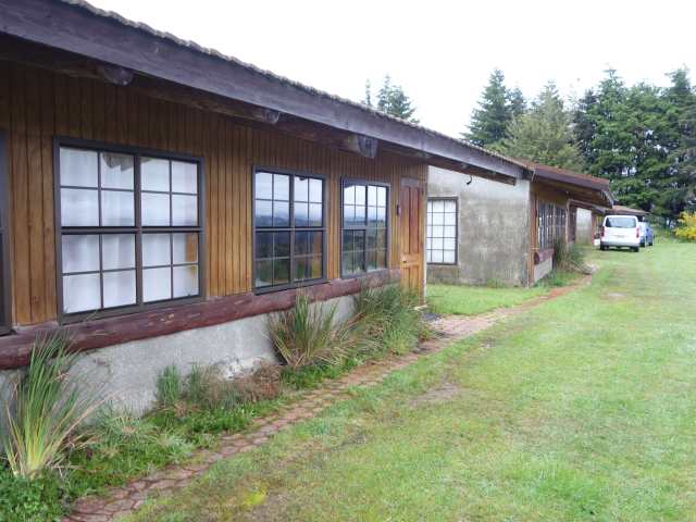
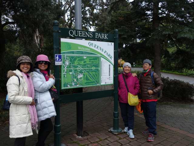
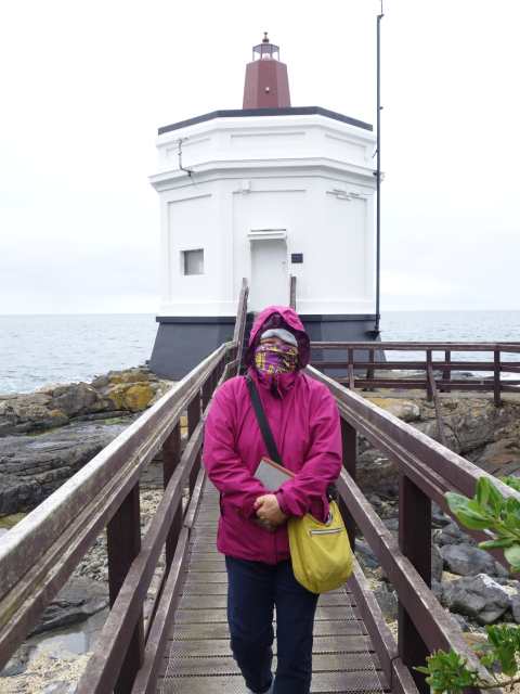
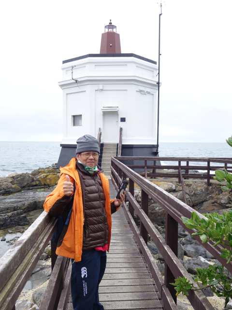
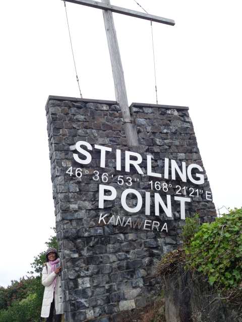
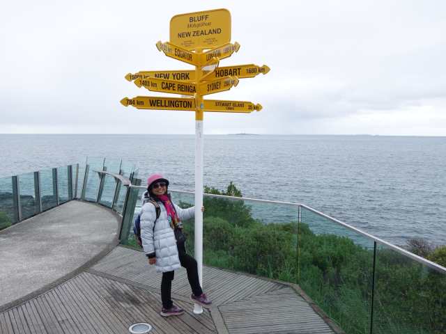
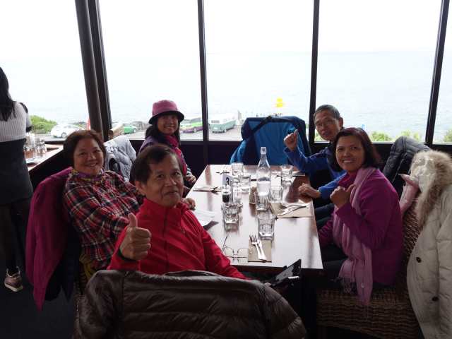
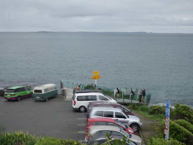
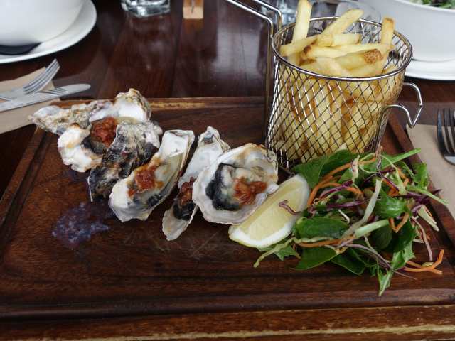
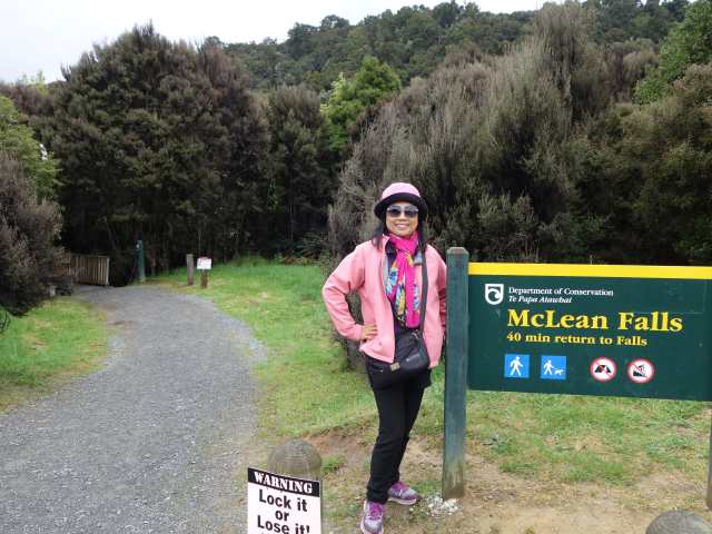
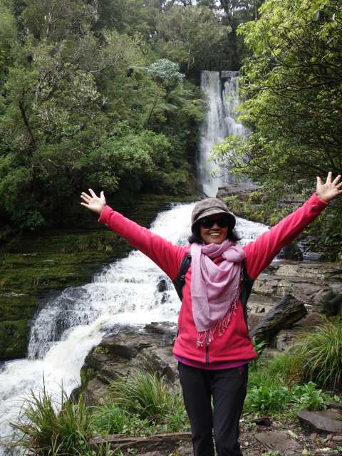
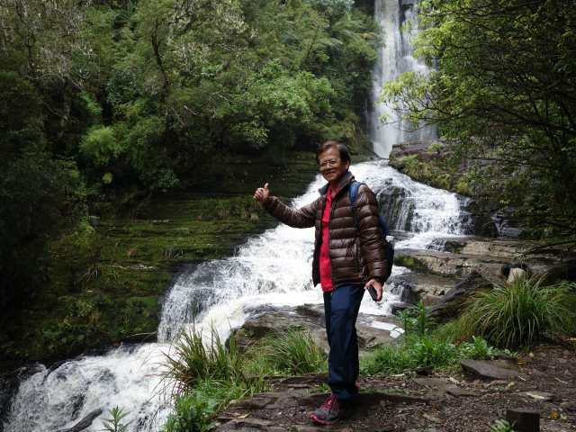
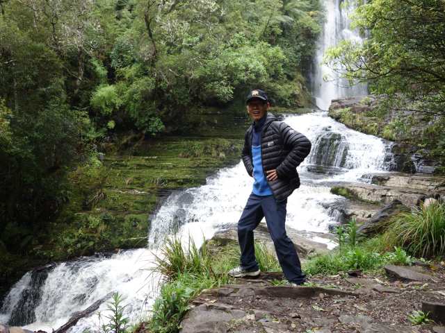
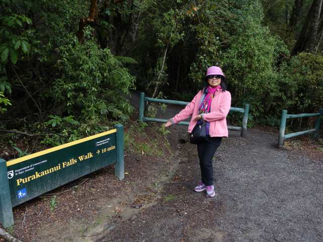
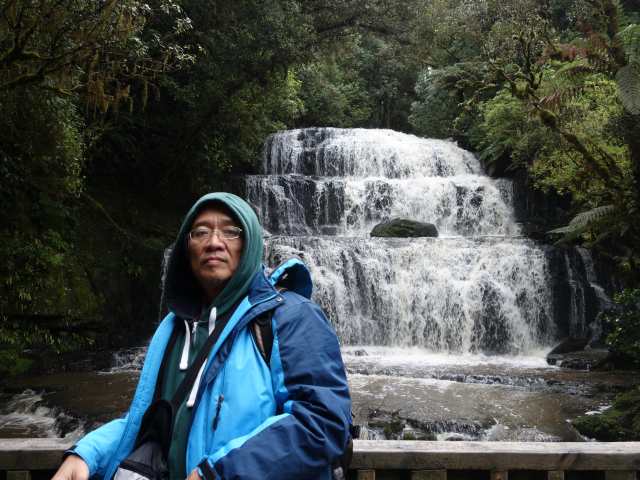
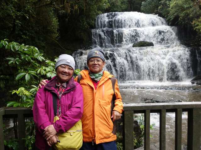
真是怨嘆天公不作美, 今日天氣好轉, 米佛峽灣開放, 就差一天, 錯過此一行程! 今天繼續往南行程, 沿南海岸線走, 首站Invercargill的Queens Park, 有不同的鳥及動物, 最南燈塔, Stirling Point (南半球最南邊的陸地, 由此往南極4800Km), 中餐在旁邊的Oyster Cove餐廳享用烤牡蠣, 景觀氣氛佳, 食物可口, 午後繼續到McLean Falls Walkway 40分鐘來回, Florence Hill Lookout海岸線觀景, Purakaunui Falls Walk 10分鐘來回, 前2瀑布路況及步道都相對不好走, Cathedral Cave (類似海蝕洞, 退潮時方可進) 封閉無法進入, 傍晚入住Catlins Area Motel (卡特林斯地區汽車旅館).
Posted Image
今日天氣好轉, 有機會由住宿處一窺田野風光.
Posted Image
Posted Image
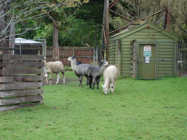
Invercargill的Queens Park, 有不同的鳥及動物.
Posted Image
羊駝.
Posted Image
Posted Image
Posted Image
Posted Image
Posted Image
最南燈塔.
Posted Image
Posted Image
Posted Image
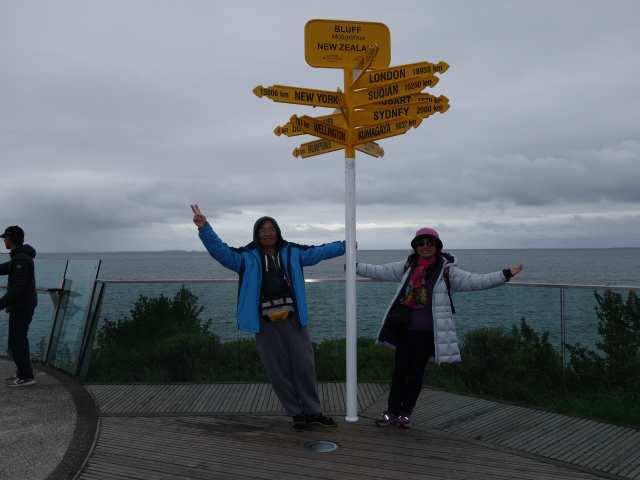
Stirling Point (南半球最南邊的陸地, 由此往南極4800Km).
Posted Image
Posted Image
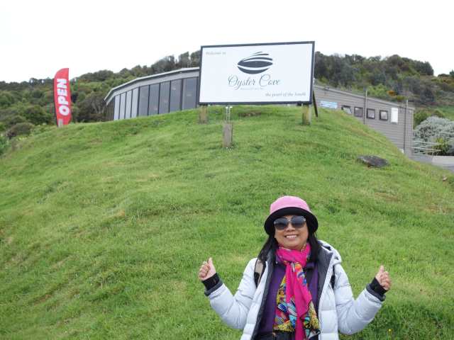
旁邊的Oyster Cove餐廳.
Posted Image
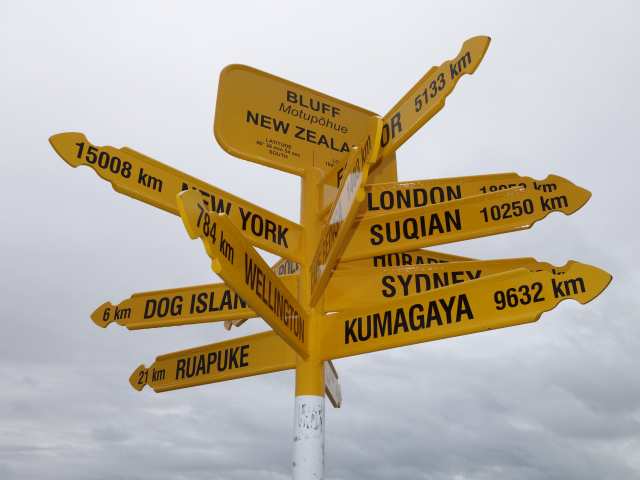
最多指標的路牌.
Posted Image
Posted Image
Posted Image
在Oyster Cove餐廳享用烤牡蠣, 景觀氣氛佳, 食物可口.
Posted Image
Posted Image
Posted Image
Posted Image
Posted Image
Posted Image
Posted Image
McLean Falls 40分鐘來回看瀑布.
Posted Image
Posted Image
Posted Image
Posted Image
Posted Image
Florence Hill Lookout海岸線觀景.
Posted Image
Posted Image
Purakaunui Falls Walk 10分鐘來回看瀑布.
Posted Image
Posted Image
Posted Image
Posted Image
當日路線圖.
Posted Image

Nancy 發表在 痞客邦 留言(0) 人氣()

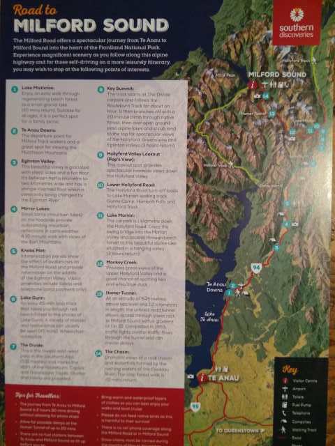
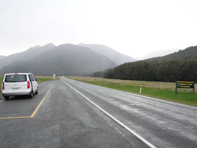
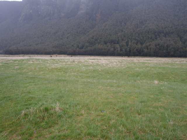
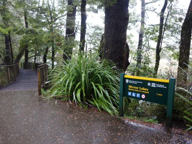
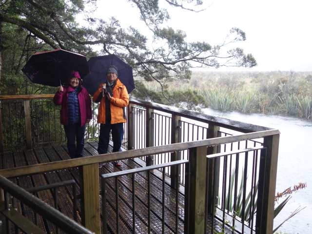
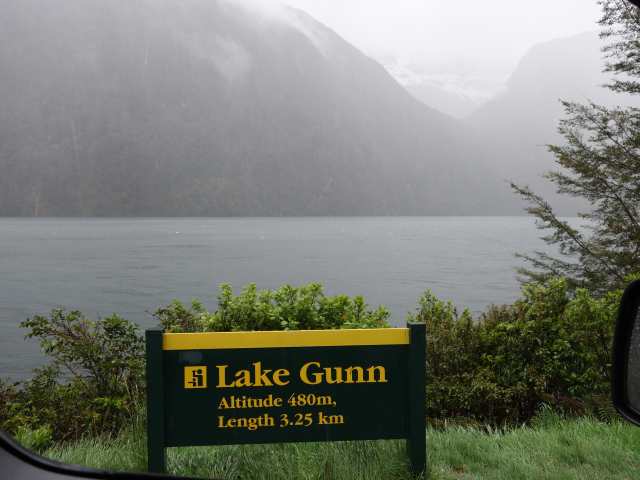
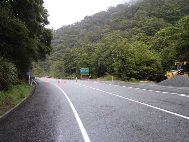
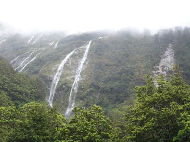
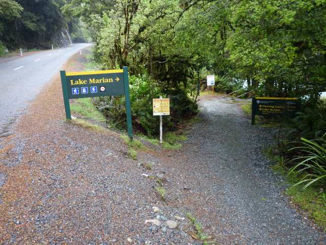
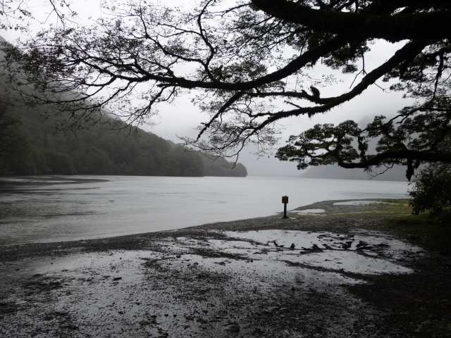
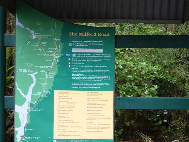
昨晚的閃電打雷下雨及被民宿人員告知去米佛灣Milford Sound (米佛峽灣於1990年登錄為世界自然遺產) 的半路已封閉, 加上今晨仍下著雨, 大伙商量後, 決定還是勇闖米佛灣, 一直開到斷點為止, 因沿路仍有不少景點可聞香一下, 首站到Eglinton Vally大草原, 仍下著大雨, 只能放棄走走看看, 拍照到此一遊, Mirror Lake, Knobs Flat提供資訊介紹米佛灣生態, Lake Gunn有野生鳥類, 一直開到Hollyford Road崩塌斷點回頭, 今天行程可說是乏善可陳, 苦中作樂, 希望未來幾天天氣能好轉, 天佑我們這伙台灣團.
Posted Image
Eglinton Vally大草原, 仍下著大雨, 只能拍照到此一遊.
Posted Image
Posted Image
Posted Image
Mirror Lake.
Posted Image
Posted Image
Lake Gunn.
Posted Image
一直開到Hollyford Road崩塌斷點回頭.
Posted Image
Posted Image
Posted Image
Posted Image
Posted Image
Posted Image
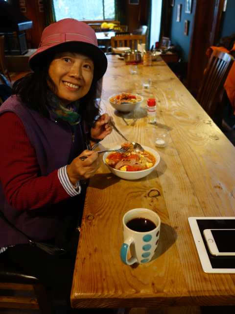
晚餐, 蕃茄雞蛋麵.
Posted Image

Nancy 發表在 痞客邦 留言(0) 人氣()

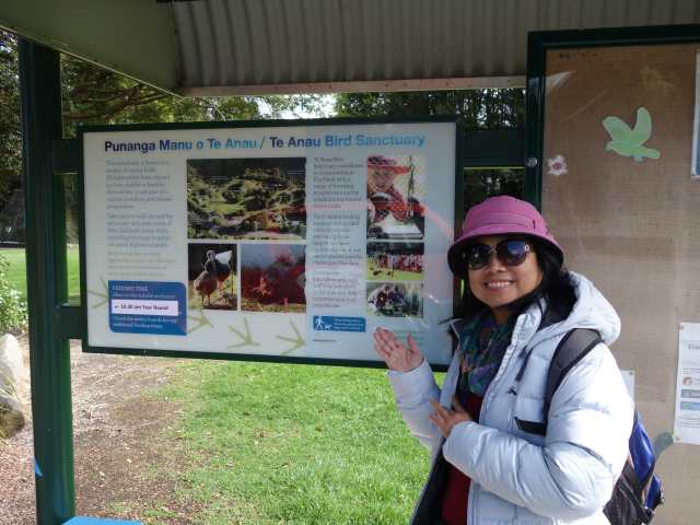
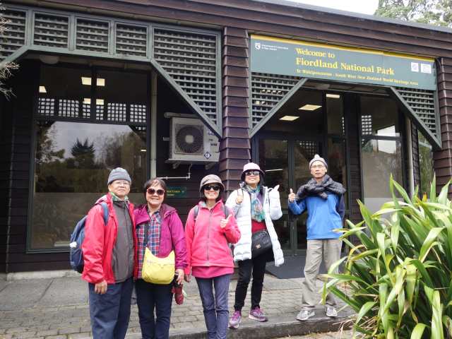
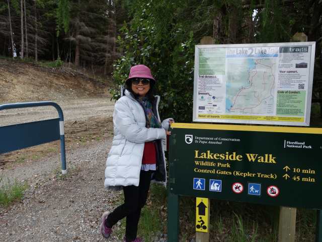
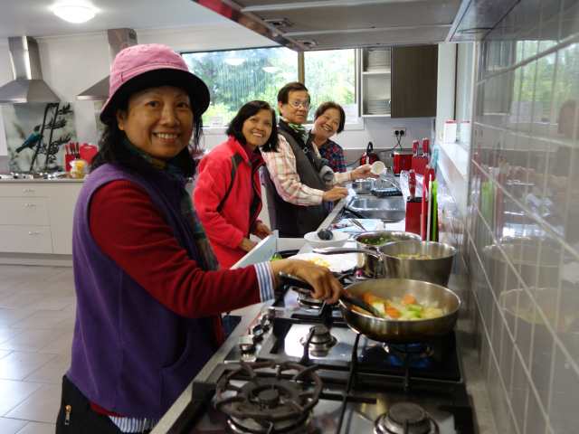
今天往米佛峽灣Milford Sound方向前進, 首站Te Anau Bird Sanctuary看Takahe南秧鳥 (一種快滅種的鳥), 然後到Fiordland isite visitor information center旁lions park吃有名的Miles better pies鹹餅派, 牛肉羊肉派都好吃, 隔壁南方禮品中心(台灣人開的禮品店) 買護膚綿羊油送禮, 沿Lake Te Anau走步道Lakeside Walk, 由於小雨沒走Lake 2 Lake步道從Lake Te Anau到Lake Manapouri, 到FreshChoice超市買未來2天的食物, 特別買了羊小排準備晚餐大快朵頤一番, 晚間入住Barnyard backpackers Te Anau時, 天氣風雲色變閃電打雷下起雨來, 民宿人員告知通往米佛灣的道路半途已封閉.
Posted Image
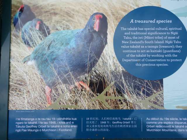
Te Anau Bird Sanctuary看Takahe南秧鳥 (一種快滅種的鳥).
Posted Image
Posted Image
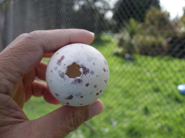
南秧鳥鳥蛋.
Posted Image
Posted Image
然後到Fiordland吃有名的Miles better pies鹹餅派, 牛肉羊肉派都好吃.
Posted Image
Posted Image
Posted Image
Posted Image
Posted Image
沿Lake Te Anau走步道Lakeside Walk.
Posted Image
到FreshChoice超市買羊小排準備晚餐大快朵頤一番.
Posted Image
大廚們在Barnyard backpackers Te Anau的公共廚房下廚.
Posted Image
Posted Image
Posted Image
Posted Image
Posted Image
當日路線圖.
Posted Image


Nancy 發表在 痞客邦 留言(0) 人氣()

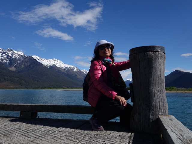
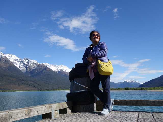
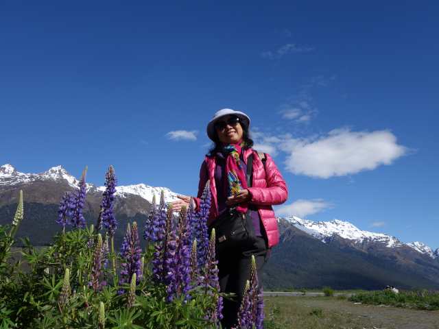
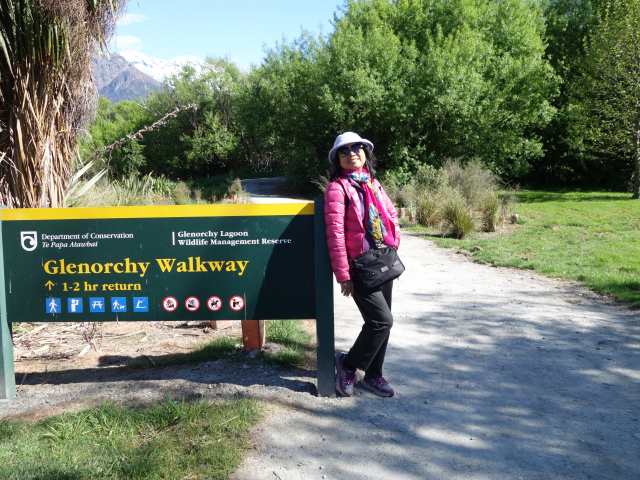
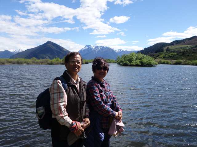
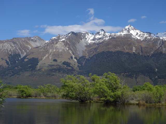
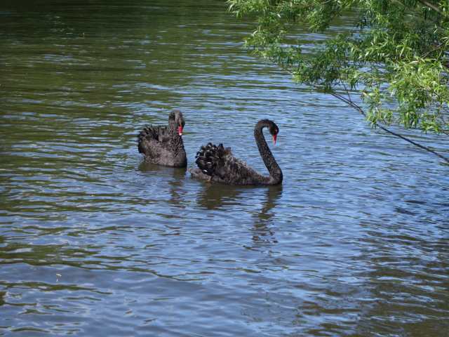
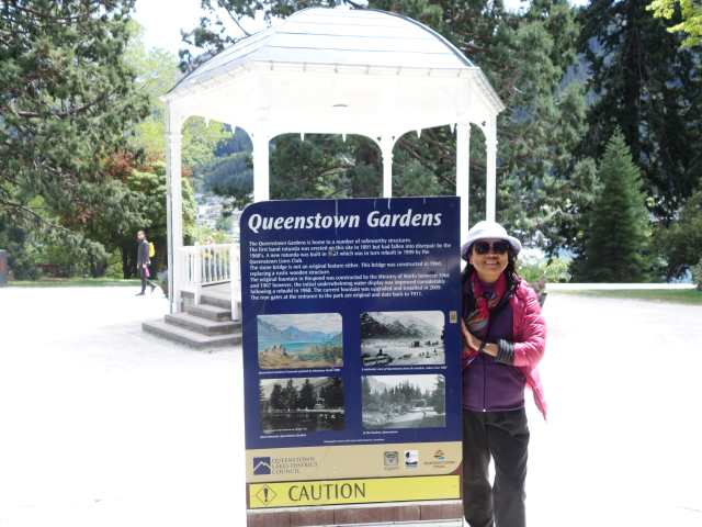
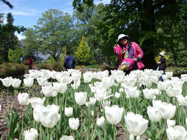
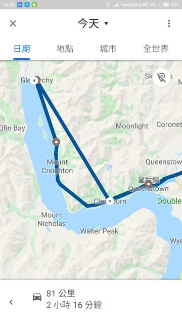
今天要去Glenorchy (格萊諾基) 是Lake Wakatipu最北方的小村莊, 離皇后鎮約40~50分鐘的車程, 號稱最接近天堂的地方. 有別於皇后鎮熱鬧繁華的景象, 幾棟小屋零星散落在湖畔, 倒映著藍天的湖面配上白皚皚的山峰, 純潔又靜謐, 這就是人間天堂嗎? 沿路停看拍, 抵達後走Glenorchy Walkway, 約1小時來回, 走走看看汐湖, 午後又驅車回到皇后鎮走Queenstown Garden, 繞公園一圈, 約1小時, 返回住宿處.
Posted Image
沿路風景真是美極, 只能一句話形容, 停看拍!
Posted Image
Posted Image
Posted Image
Posted Image
Posted Image
Posted Image
Posted Image
Posted Image
Posted Image
抵達Glenorchy停車場.
Posted Image
Posted Image
Posted Image
Posted Image
Posted Image
Posted Image
Posted Image
Posted Image
Posted Image
Posted Image
走Glenorchy Walkway, 約1小時來回, 走走看看汐湖.
Posted Image
Posted Image
Posted Image
Posted Image
Posted Image
Posted Image
Posted Image
Posted Image
Posted Image
Posted Image
Posted Image
Posted Image
回到皇后鎮走Queenstown Garden, 繞公園一圈, 約1小時.
Posted Image
Posted Image
Posted Image
當日路線圖.
Posted Image


Nancy 發表在 痞客邦 留言(0) 人氣()

Blog Stats
⚠️

成人內容提醒

本部落格內容僅限年滿十八歲者瀏覽。
若您未滿十八歲,請立即離開。

已滿十八歲者,亦請勿將內容提供給未成年人士。